데이터 세트에 대한 데이터 기반 스타일 지정 기능을 사용하면 자체 지리 정보 데이터 세트를 업로드하고, 이 데이터 세트의 데이터 지형지물에 맞춤 스타일을 적용하고, 지도에 이러한 데이터 지형지물을 표시할 수 있습니다. 점, 다중선, 다각형 도형을 기반으로 데이터 시각화를 생성하고 데이터 지형지물이 클릭 이벤트에 반응하도록 설정할 수 있습니다. 데이터 세트에 대한 데이터 기반 스타일 지정은 벡터 지도에서만 지원됩니다(지도 ID 필요).
맞춤 지리 정보 데이터 세트 추가
Google Cloud 콘솔 또는 Google Cloud Shell을 사용하여 맞춤 데이터를 추가하세요. 각 데이터 세트에는 고유 ID가 있으며, 이 ID는 지도 스타일과 연결할 수 있습니다. 다음과 같은 데이터 형식이 지원됩니다.
- GeoJSON
- 쉼표로 구분된 데이터(CSV)
- KML
데이터 세트 요구사항 및 제한사항에 관한 자세한 내용은 데이터 세트 만들기 및 관리를 참고하세요.
데이터 지형지물 스타일 지정
맞춤 데이터가 업로드되어 지도 스타일 및 지도 ID에 연결되면 데이터 지형지물에 스타일을 지정해 시각적 효과를 높이고 지형지물이 클릭 이벤트에 반응하도록 설정할 수 있습니다.
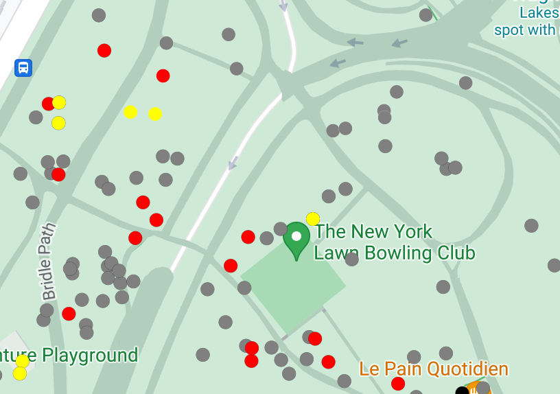
점 데이터의 스타일을 지정하여 지도에 특정 위치를 표시할 수 있습니다.

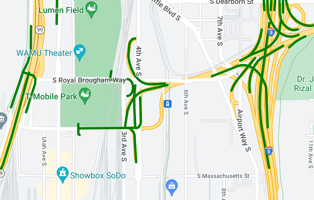
다중선 데이터의 스타일을 지정하여 지형지물을 강조 표시할 수 있습니다.

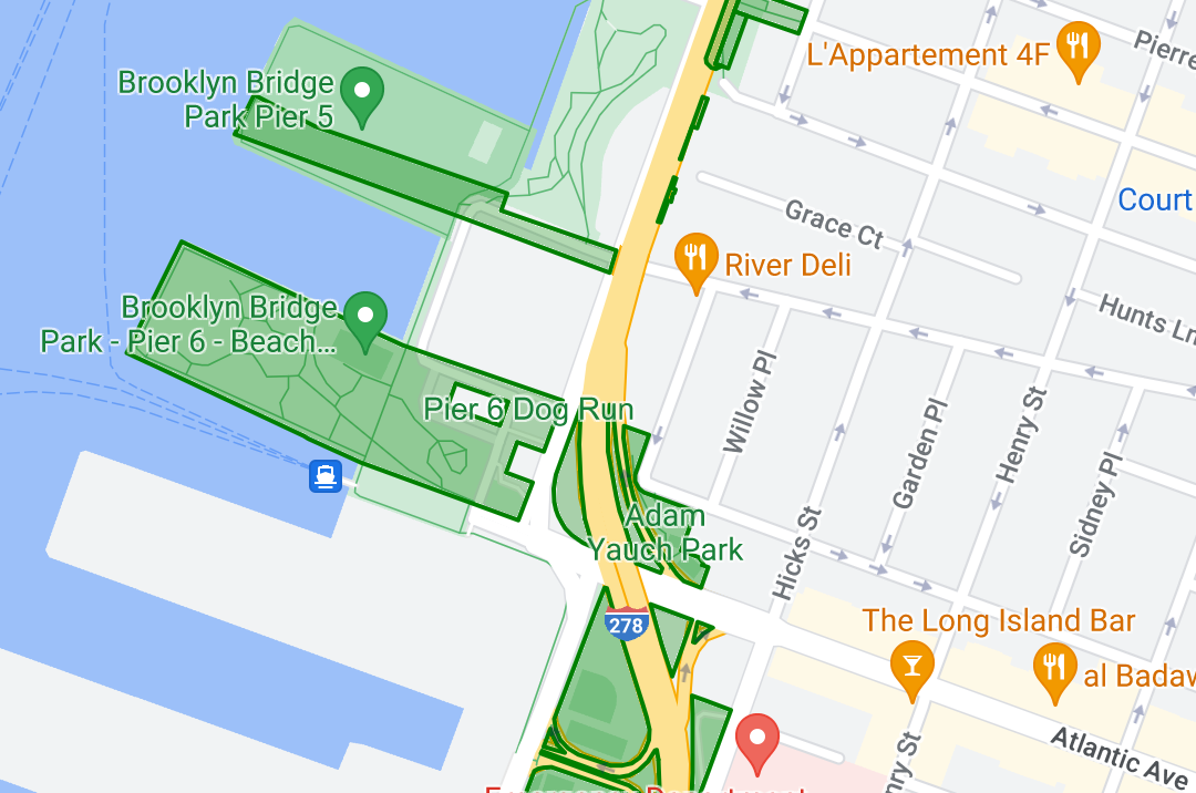
다각형 데이터의 스타일을 지정하여 지리적 영역을 강조 표시할 수 있습니다.

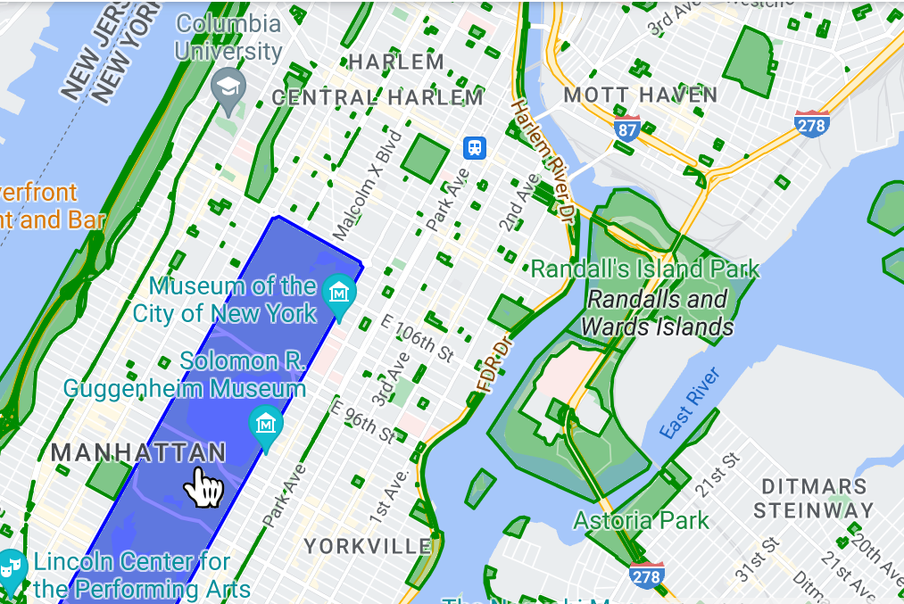
이벤트 리스너를 추가하여 데이터 지형지물이 클릭 이벤트에 반응하도록 설정할 수 있습니다.

