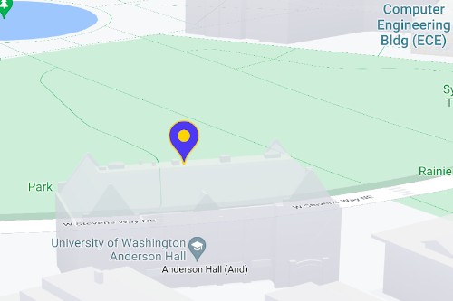
ใช้เครื่องหมายเพื่อแสดงสถานที่เดียวบนแผนที่ คู่มือนี้แสดงวิธี
ใช้เครื่องหมายขั้นสูง เครื่องหมายขั้นสูงช่วยให้คุณสร้างและปรับแต่งเครื่องหมายที่มีประสิทธิภาพสูง รวมถึงสร้างเครื่องหมายที่เข้าถึงได้ซึ่งตอบสนองต่อเหตุการณ์การคลิก DOM และอินพุตจากแป้นพิมพ์ เครื่องหมายขั้นสูงรองรับการใช้ HTML และ CSS ที่กำหนดเอง
รวมถึงความสามารถในการสร้างเครื่องหมายที่กำหนดเองทั้งหมด
เพื่อการปรับแต่งที่ละเอียดยิ่งขึ้น สำหรับแอปพลิเคชัน 3 มิติ
คุณสามารถควบคุมระดับความสูงที่เครื่องหมายปรากฏได้
เครื่องหมายขั้นสูงใช้ได้ทั้งในแผนที่แรสเตอร์และเวกเตอร์ (แม้ว่าฟีเจอร์บางอย่างจะใช้ไม่ได้ในแผนที่แรสเตอร์)
ต้องระบุรหัสแผนที่เพื่อใช้เครื่องหมายขั้นสูง (ใช้ DEMO_MAP_ID ได้)
เริ่มต้นใช้งานเครื่องหมายขั้นสูง
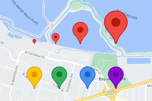
ปรับแต่งสี ขนาด และรูปภาพไอคอน
ปรับแต่งพื้นหลัง กลีฟ และสีเส้นขอบของเครื่องหมายเริ่มต้น รวมถึงปรับขนาดเครื่องหมาย
แทนที่ไอคอนเครื่องหมายเริ่มต้นด้วยรูปภาพ SVG หรือ PNG ที่กำหนดเอง
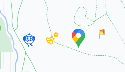
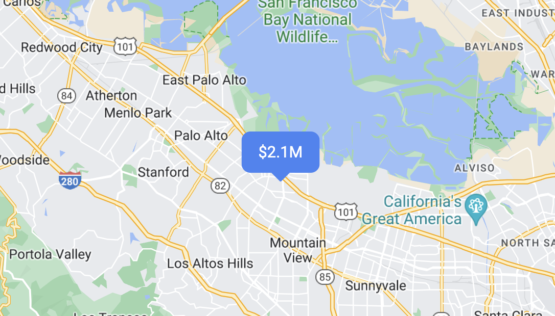
สร้างเครื่องหมาย HTML ที่กำหนดเอง
ใช้ HTML และ CSS ที่กำหนดเองเพื่อสร้างเครื่องหมายแบบอินเทอร์แอกทีฟที่โดดเด่น และสร้างภาพเคลื่อนไหว
ทำให้เครื่องหมายตอบสนองต่อเหตุการณ์การคลิกและแป้นพิมพ์
ทำให้เครื่องหมายตอบสนองต่อการคลิกและเหตุการณ์ในแป้นพิมพ์โดยการเพิ่ม
click Listener เหตุการณ์
function initMap() {
  const map = new google.maps.Map(document.getElementById('map'), {
    center: {lat: 37.4239163, lng: -122.0947209},
    zoom: 17,
    mapId: 'DEMO_MAP_ID',
  });

  const marker = new google.maps.marker.AdvancedMarkerElement({
    map,
    position: {lat: 37.4239163, lng: -122.0947209},
  });

  marker.addListener('click', ({domEvent, latLng}) => {
    const {target} = domEvent;
    // Handle the click event.
    // ...
  });
}
กำหนดระดับความสูงของเครื่องหมายและลักษณะการชน
กำหนดระดับความสูงของเครื่องหมายเพื่อให้ปรากฏอย่างถูกต้องพร้อมกับองค์ประกอบแผนที่ 3 มิติ และระบุลักษณะการทำงานของเครื่องหมายเมื่อชนกับเครื่องหมายอื่นหรือป้ายกำกับแผนที่ รองรับความสูงของเครื่องหมายในแผนที่เวกเตอร์เท่านั้น