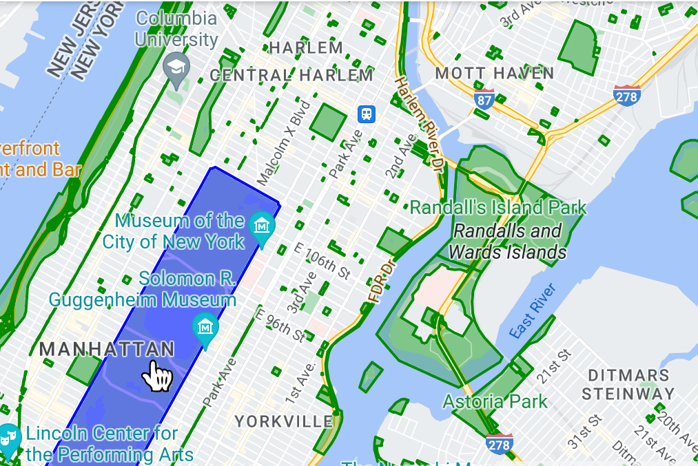
การจัดรูปแบบตามข้อมูลสำหรับชุดข้อมูลช่วยให้คุณอัปโหลดชุดข้อมูลเชิงพื้นที่ของคุณเอง ใช้การจัดรูปแบบที่กำหนดเองกับฟีเจอร์ข้อมูล และแสดงฟีเจอร์ข้อมูลเหล่านั้นบน แผนที่ได้ การจัดรูปแบบตามข้อมูลสำหรับชุดข้อมูลช่วยให้คุณสร้างการแสดงข้อมูลผ่านภาพ ตามรูปทรงเรขาคณิตของจุด เส้น และรูปหลายเหลี่ยม รวมถึงทำให้ฟีเจอร์ข้อมูลตอบสนอง ต่อเหตุการณ์การแตะได้ ระบบรองรับการจัดรูปแบบตามข้อมูลสำหรับชุดข้อมูลในแผนที่เวกเตอร์ เท่านั้น (ต้องระบุรหัสแผนที่)
เริ่มต้นใช้งานการจัดรูปแบบตามข้อมูลสำหรับชุดข้อมูล
เพิ่มชุดข้อมูลภูมิสารสนเทศที่กำหนดเอง
เพิ่มข้อมูลที่กำหนดเองโดยใช้ Google Cloud Console หรือ Google Cloud Shell ชุดข้อมูลแต่ละชุดจะมีรหัสที่ไม่ซ้ำกัน ซึ่งคุณสามารถเชื่อมโยงกับรูปแบบแผนที่ได้ ระบบรองรับรูปแบบข้อมูลต่อไปนี้
- GeoJSON
- ที่คั่นด้วยคอมมา (CSV)
- KML
โปรดดูรายละเอียดเกี่ยวกับข้อกำหนดและข้อจำกัดของชุดข้อมูลที่หัวข้อ สร้างและจัดการชุดข้อมูล
เกี่ยวกับชุดข้อมูลสาธารณะ
หากต้องการจัดรูปแบบชุดข้อมูล คุณต้องเชื่อมโยงรูปแบบแผนที่กับรหัสแผนที่ ซึ่งจะเชื่อมโยงชุดข้อมูลกับรหัสแผนที่ด้วย ในแอป นักพัฒนาแอปสามารถอ้างอิงรหัสแผนที่ดังกล่าว รวมถึงรูปแบบแผนที่และข้อมูลเชิงพื้นที่ที่เชื่อมโยงกับรหัสนั้น ไม่มี การควบคุมการเข้าถึงเพิ่มเติมกับข้อมูลเชิงพื้นที่ ซึ่งทําให้ข้อมูลเชิงพื้นที่ พร้อมใช้งานต่อสาธารณะอย่างมีประสิทธิภาพสําหรับทุกคนที่มีแอป
ฟีเจอร์ข้อมูลสไตล์
เมื่ออัปโหลดข้อมูลที่กำหนดเองและเชื่อมโยงกับรูปแบบแผนที่และรหัสแผนที่แล้ว คุณจะจัดรูปแบบฟีเจอร์ข้อมูลเพื่อสร้างผลลัพธ์ที่มองเห็นได้ และทำให้ฟีเจอร์ตอบสนองต่อเหตุการณ์การแตะได้
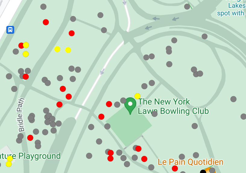
จัดรูปแบบข้อมูลจุดเพื่อแสดงตำแหน่งที่เฉพาะเจาะจงบนแผนที่
จัดรูปแบบข้อมูลเส้นหลายส่วนเพื่อไฮไลต์ลักษณะทางภูมิศาสตร์
จัดรูปแบบข้อมูลรูปหลายเหลี่ยมเพื่อไฮไลต์พื้นที่ทางภูมิศาสตร์
ทําให้ฟีเจอร์ข้อมูลตอบสนองต่อเหตุการณ์การแตะโดยการเพิ่มเครื่องฟังเหตุการณ์