データセット用データドリブン スタイル設定を利用すれば、独自の地理空間データセットをアップロードし、データセットに含まれるデータ対象物にカスタム スタイルを適用して地図上に表示することができます。また、ポイント、ポリライン、およびポリゴンのジオメトリをもとにデータ可視化要素を作成し、データ対象物をタップ イベントに反応させることも可能です。データセット用データドリブン スタイル設定は、ベクターマップ専用の機能です(マップ ID が必要となります)。
カスタム地理空間データセットを追加する
Google Cloud コンソールまたは Google Cloud Shell を使って、カスタムデータを追加します。各データセットには固有の ID があり、この ID を地図のスタイルと関連付けることができます。サポートされるデータ形式は次のとおりです。
- GeoJSON
- カンマ区切り(CSV)
- KML
データセットの要件と制限事項について詳しくは、データセットを作成・管理するをご覧ください。
公開データセットについて
データセットのスタイル設定を行うには、地図のスタイルをマップ ID に関連付ける必要があります。これにより、データセットとマップ ID が関連付けられます。デベロッパーはアプリ内でこのマップ ID と、それに関連付けられているあらゆる地図のスタイル、および地理空間データを参照できます。地理空間データには追加のアクセス制御が適用されないため、地理空間データをアプリユーザーに効果的に公開できます。
データ対象物をスタイル設定する
カスタムデータをアップロードして地図スタイルとマップ ID に関連付けたら、データ対象物をスタイル設定して、視覚的インパクトを高め、対象物をタップ イベントに反応させることができます。
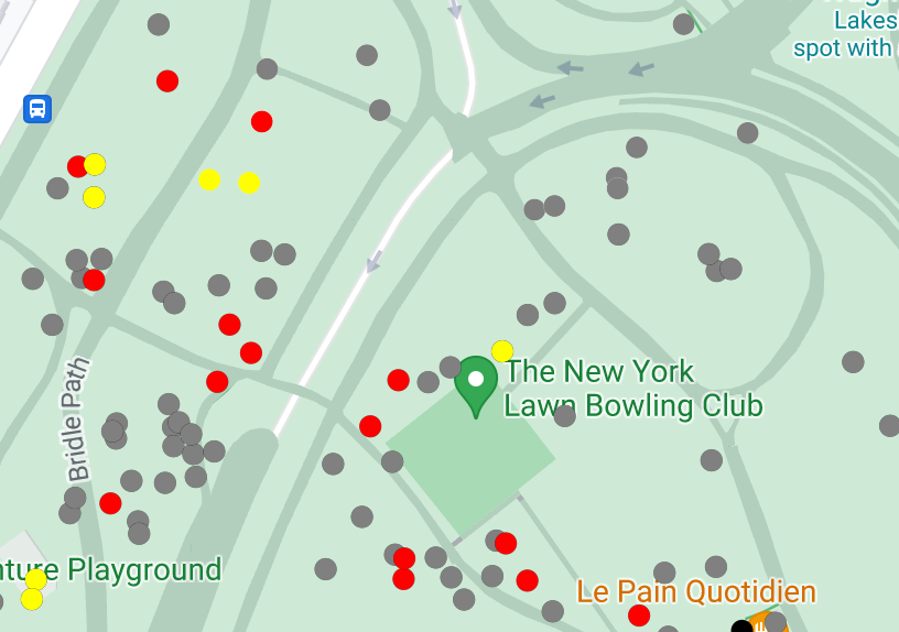
ポイントデータをスタイル設定して個々のスポットを地図上に表示させる

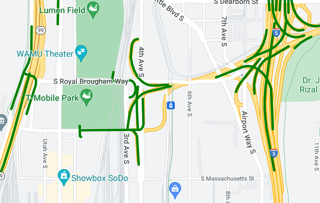
ポリライン データをスタイル設定して地理的な対象物をハイライトする

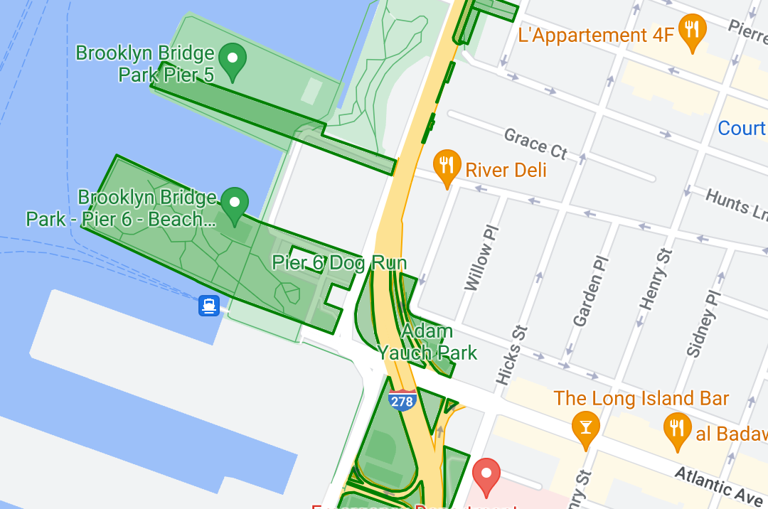
ポリゴンデータをスタイル設定して地理的な領域をハイライトする

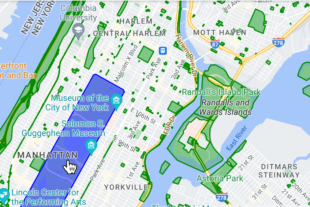
イベント リスナーを追加してデータ対象物をタップ イベントに反応させる

