Announcement: New basemap styling is coming soon to Google Maps Platform. This update to map styling includes a new default color palette, modernized pins, and improvements to map experiences and usability. All map styles will be automatically updated in March 2025. For more information on availability and how to opt in earlier, see New map style for Google Maps Platform.
Stay organized with collections
Save and categorize content based on your preferences.
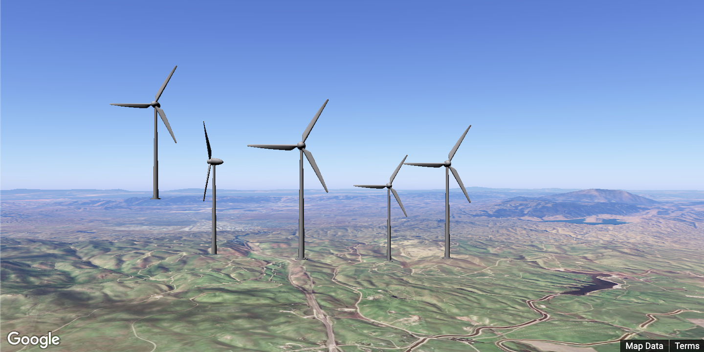
You can use the Photorealistic 3D Maps in Maps JavaScript API to render GLTF 3D models directly into 3D
maps. These realistic 3D objects can represent buildings, landmarks, or other
custom objects, and can enhance both the visual appeal and functionality of your
maps.
To add a model to a map, use the gmp-model-3d element, as shown below. Models
are clamped to the ground by default when omitting the altitude-mode attribute.
[[["Easy to understand","easyToUnderstand","thumb-up"],["Solved my problem","solvedMyProblem","thumb-up"],["Other","otherUp","thumb-up"]],[["Missing the information I need","missingTheInformationINeed","thumb-down"],["Too complicated / too many steps","tooComplicatedTooManySteps","thumb-down"],["Out of date","outOfDate","thumb-down"],["Samples / code issue","samplesCodeIssue","thumb-down"],["Other","otherDown","thumb-down"]],["Last updated 2025-03-14 UTC."],[],[]]