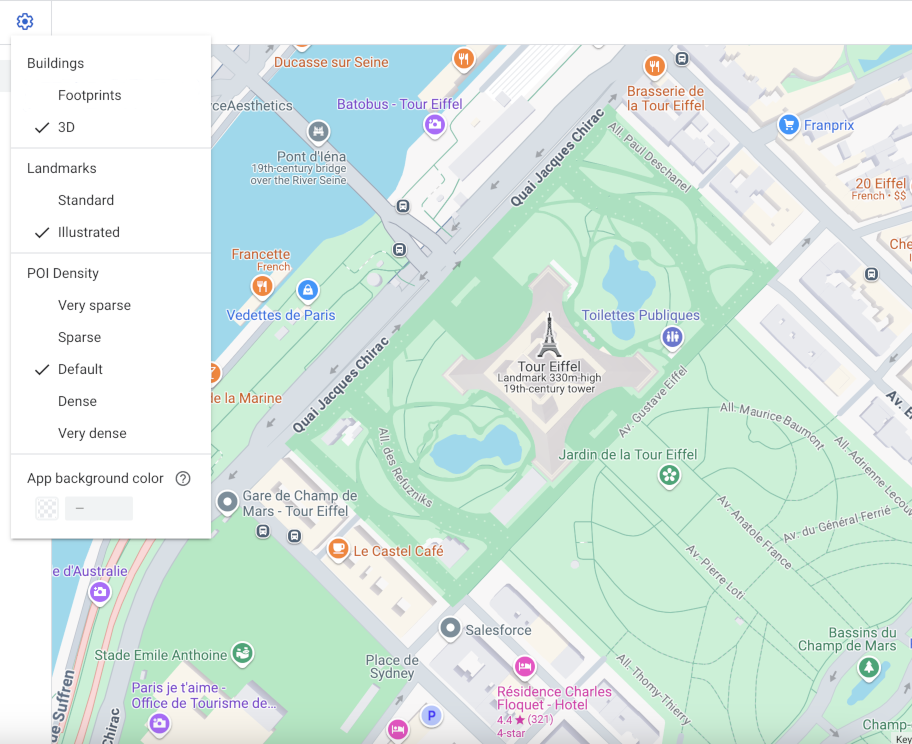
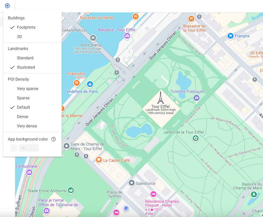
[[["이해하기 쉬움","easyToUnderstand","thumb-up"],["문제가 해결됨","solvedMyProblem","thumb-up"],["기타","otherUp","thumb-up"]],[["필요한 정보가 없음","missingTheInformationINeed","thumb-down"],["너무 복잡함/단계 수가 너무 많음","tooComplicatedTooManySteps","thumb-down"],["오래됨","outOfDate","thumb-down"],["번역 문제","translationIssue","thumb-down"],["샘플/코드 문제","samplesCodeIssue","thumb-down"],["기타","otherDown","thumb-down"]],["최종 업데이트: 2023-12-26(UTC)"],[[["Cloud-based map styling allows you to customize the appearance of buildings in your maps, including choosing between 3D and 2D (Footprints) representations."],["Building customization options are available for Android, iOS, JavaScript, and Web Service platforms."],["By default, buildings on vector maps in Android, iOS, or JavaScript display in 3D at zoom level 17 and above."],["You can adjust building styles using the settings pane within the map interface."],["Stroke customizations are unavailable for 3D buildings, while 2D footprints offer a cleaner map aesthetic."]]],["The core content outlines how to customize building styles on maps across different platforms (Android, iOS, JavaScript, Web Service). Users can choose between **3D** or **Footprints** (2D) styles for buildings, effective from zoom level 17. To change the style, zoom in on the map, access the **Settings** pane via the gear icon, and select either **3D** for volumetric representation or **Footprints** for flat outlines. Note that 3D buildings do not support stroke customization.\n"]]

 을 선택하여 설정 창을 엽니다.