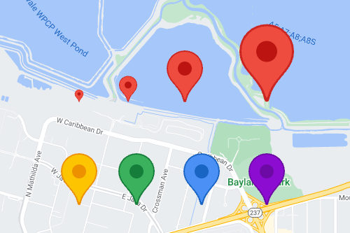
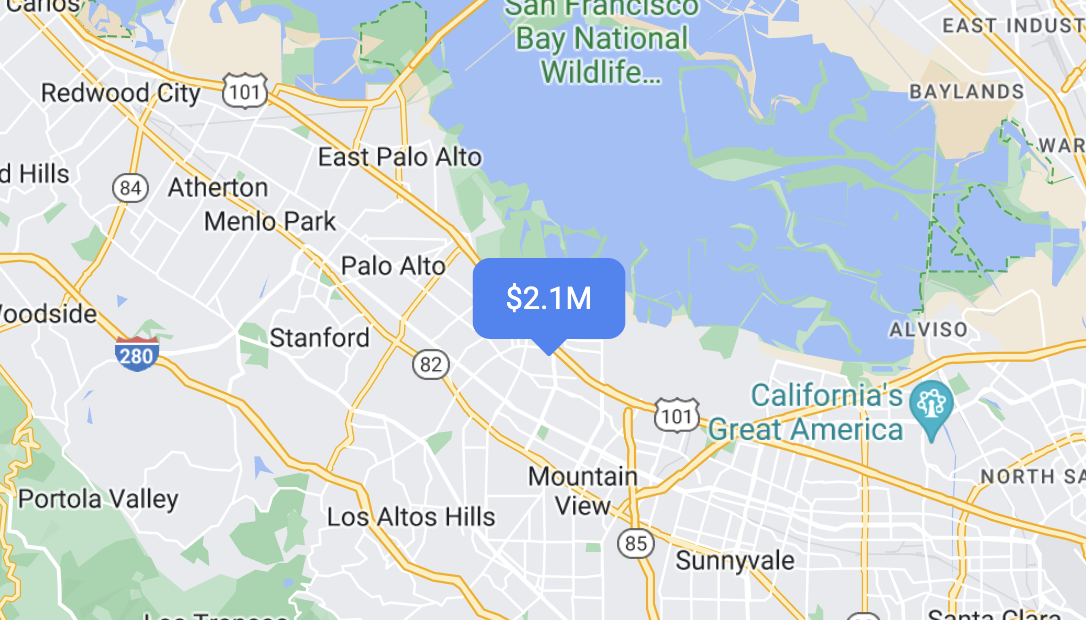
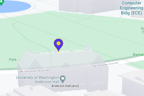
您可以使用標記在地圖上顯示單一位置。本指南說明如何使用進階標記。您可以使用進階標記,建立及自訂效能卓越的標記,以及製作回應 DOM 點擊事件和鍵盤輸入動作的無障礙標記。如要進一步自訂,進階標記支援使用自訂 HTML 和 CSS,包括建立完全自訂的標記。對於 3D 應用程式,您可以控管標記的顯示高度。光柵地圖和向量地圖都支援進階標記 (但部分功能不適用於光柵地圖)。如要使用進階標記,則必須提供地圖 ID (可使用 DEMO_MAP_ID)。
[[["容易理解","easyToUnderstand","thumb-up"],["確實解決了我的問題","solvedMyProblem","thumb-up"],["其他","otherUp","thumb-up"]],[["缺少我需要的資訊","missingTheInformationINeed","thumb-down"],["過於複雜/步驟過多","tooComplicatedTooManySteps","thumb-down"],["過時","outOfDate","thumb-down"],["翻譯問題","translationIssue","thumb-down"],["示例/程式碼問題","samplesCodeIssue","thumb-down"],["其他","otherDown","thumb-down"]],["上次更新時間:2025-08-17 (世界標準時間)。"],[[["\u003cp\u003eAdvanced markers offer highly performant and customizable options for displaying single locations on Google Maps, including custom HTML and CSS for unique designs.\u003c/p\u003e\n"],["\u003cp\u003eThey are accessible, responding to DOM click events and keyboard input for enhanced user interaction.\u003c/p\u003e\n"],["\u003cp\u003eCustomization options include changing color, scale, icon image, and creating custom HTML markers with interactive elements and animations.\u003c/p\u003e\n"],["\u003cp\u003eAltitude control is available for 3D applications, enabling precise marker placement in three-dimensional spaces, although this feature is limited to vector maps.\u003c/p\u003e\n"],["\u003cp\u003eAdvanced markers are compatible with both raster and vector maps, requiring a map ID for implementation, and offer improved performance compared to legacy markers.\u003c/p\u003e\n"]]],["Advanced markers allow customization of map markers, including color, scale, and icons (SVG/PNG). Users can employ custom HTML and CSS for unique designs and animations. Markers can be made interactive via `click` event listeners, handling user clicks and keyboard input. Altitude and collision behavior can be defined for 3D maps. A map ID, like `DEMO_MAP_ID`, is needed, and these advanced markers are available on Android, iOS, and JavaScript platforms, supporting both raster and vector maps.\n"],null,["Select platform: [Android](/maps/documentation/android-sdk/advanced-markers/overview \"View this page for the Android platform docs.\") [iOS](/maps/documentation/ios-sdk/advanced-markers/overview \"View this page for the iOS platform docs.\") [JavaScript](/maps/documentation/javascript/advanced-markers/overview \"View this page for the JavaScript platform docs.\")\n\n\u003cbr /\u003e\n\nUse markers to display single locations on a map. This guide shows you how to\nuse advanced markers. With\nadvanced markers you can create and customize highly\nperformant markers, and make accessible markers that respond to DOM click events\nand keyboard input. For even deeper customization,\nadvanced markers supports the use of custom HTML and CSS,\nincluding the ability to create completely custom markers. For 3D applications\nyou can control the altitude at which a marker appears.\nAdvanced markers are supported on both raster and vector maps (though some features are not available on raster maps).\nA map ID is required to use Advanced Markers (the `DEMO_MAP_ID` can be used).\n| **Tip:** If your map uses [legacy markers](/maps/documentation/javascript/markers), consider [migrating to advanced markers](/maps/documentation/javascript/advanced-markers/migration).\n\n[Get started with advanced markers](/maps/documentation/javascript/advanced-markers/start)\n\nCustomize color, scale, and icon image\n\nCustomize the default marker's background, glyph, and border\ncolor, and adjust marker size.\n\nReplace the default marker icon with a custom SVG or PNG image.\n\nCreate custom HTML markers\n\nUse custom HTML and CSS to create visually distinctive\ninteractive markers, and create animations.\n\nMake markers respond to click and keyboard events\n\nMake a marker respond to clicks and keyboard events by adding a\n`click` event listener. \n\n```javascript\nfunction initMap() {\n const map = new google.maps.Map(document.getElementById('map'), {\n center: {lat: 37.4239163, lng: -122.0947209},\n zoom: 17,\n mapId: 'DEMO_MAP_ID',\n });\n\n const marker = new google.maps.marker.AdvancedMarkerElement({\n map,\n position: {lat: 37.4239163, lng: -122.0947209},\n });\n\n marker.addListener('click', ({domEvent, latLng}) =\u003e {\n const {target} = domEvent;\n // Handle the click event.\n // ...\n });\n}\n```\n\nSet marker altitude and collision behavior\n\nSet the altitude for a marker to make it appear correctly with\n3D map elements, and specify how a marker should behave when it collides with\nanother marker or map label. Marker altitude is only supported on vector maps.\n\nNext step\n\n- [Get started with advanced markers](/maps/documentation/javascript/advanced-markers/start)"]]