
Page Summary
-
Terrain tiles are image tiles that visually represent geographical features like hills, contours, and vegetation.
-
To request terrain tiles, you first need to obtain a session token using your API key and specifying map parameters.
-
You can then retrieve individual terrain tiles using an HTTPS GET request, providing the session token, API key, and desired tile coordinates (zoom level, x, and y).
-
Terrain tiles are downloaded directly as image files without a server response message, allowing easy integration into mapping applications.
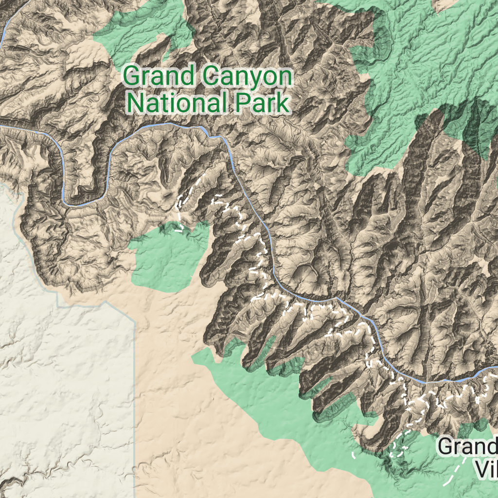
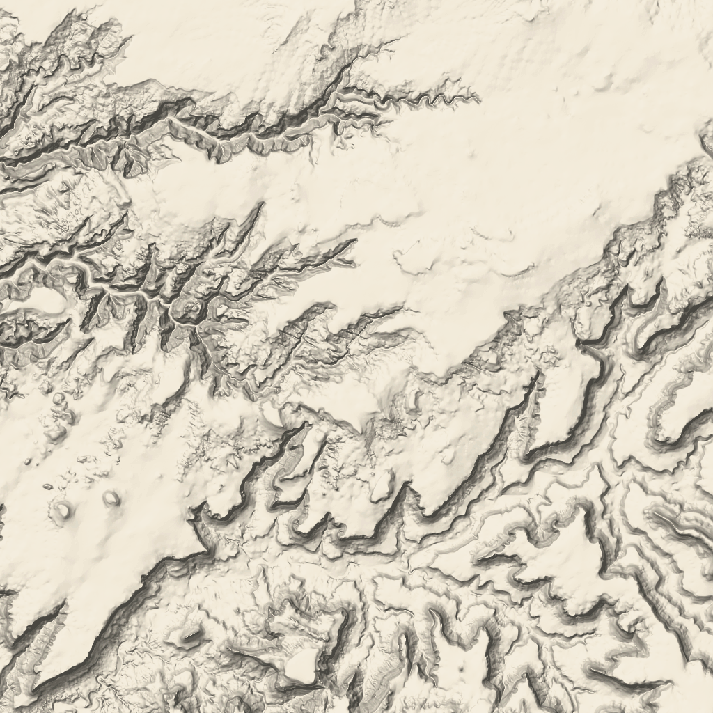 Terrain tiles are image tiles that contain hillshade mapping
and contour lines. They include natural features such as vegetation.
Terrain tiles are image tiles that contain hillshade mapping
and contour lines. They include natural features such as vegetation.
Getting terrain tiles
You can begin making terrain tile requests after you get a session token. Because a session token applies to the entire session, you don't have to specify the map options with your tile requests.
The following code sample demonstrates a typical session token request for terrain tiles.
curl -X POST -d '{
  "mapType": "terrain",
  "language": "en-US",
  "region": "US",
  "layerTypes": ["layerRoadmap"]
}' \
-H 'Content-Type: application/json' \
"https://tile.googleapis.com/v1/createSession?key=YOUR_API_KEY"
You get terrain tiles by making an HTTPS GET request, as shown in the following example.
curl "https://tile.googleapis.com/v1/2dtiles/z/x/y?session=YOUR_SESSION_TOKEN &key=YOUR_API_KEY "
Example tile request
Consider the following example, which requests a single terrain tile with zoom level 10, with x and y coordinates of (192, 401).
curl "https://tile.googleapis.com/v1/2dtiles/10/192/401?session=YOUR_SESSION_TOKEN &key=YOUR_API_KEY" --output /tmp/example_tile.png
There is no response message from the server in this example. Instead, the tile just downloads to a local file.
For information about response message headers, see Pre-Fetching, Caching, or Storage of Content.