Page Summary
-
Infrastructure and boundaries data includes datasets on protected areas, administrative units, power plants, oil and gas infrastructure, and US Census boundaries.
-
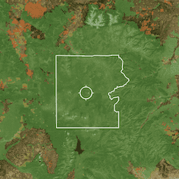
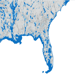
PAD-US is the official national inventory of U.S. protected areas for preserving biodiversity and other natural, recreation, and cultural uses.
-
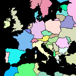
FAO GAUL provides standardized spatial datasets of administrative units for countries worldwide, available in simplified and detailed versions at different administrative levels.
-
The Global Power Plant Database is an open-source resource centralizing geolocated power plant data including capacity and generation information.
-
The TIGER dataset from the U.S. Census Bureau contains various US boundaries such as census blocks, block groups, tracts, counties, states, roads, and ZIP Code Tabulation Areas.
-
Designation: USGS GAP PAD-US v2.0
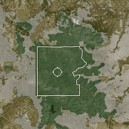
PAD-US is America's official national inventory of U.S. terrestrial and marine protected areas that are dedicated to the preservation of biological diversity and to other natural, recreation and cultural uses, managed for these purposes through legal or other effective means. This database is separated into … conservation-easements designation infrastructure-boundaries management ownership protected-areas -
Easement: USGS GAP PAD-US v2.0
PAD-US is America's official national inventory of U.S. terrestrial and marine protected areas that are dedicated to the preservation of biological diversity and to other natural, recreation and cultural uses, managed for these purposes through legal or other effective means. This database is separated into … conservation-easements designation infrastructure-boundaries management ownership protected-areas -
FAO GAUL 500m Simplified: Global Administrative Unit Layers 2015, Country Boundaries
This version of GAUL dataset is simplified at 500m. The Global Administrative Unit Layers (GAUL) compiles and disseminates the best available information on administrative units for all the countries in the world, providing a contribution to the standardization of the spatial dataset representing administrative units. … borders countries fao gaul infrastructure-boundaries table -
FAO GAUL 500m Simplified: Global Administrative Unit Layers 2015, First-Level Administrative Units

This version of GAUL dataset is simplified at 500m. The Global Administrative Unit Layers (GAUL) compiles and disseminates the best available information on administrative units for all the countries in the world, providing a contribution to the standardization of the spatial dataset representing administrative units. … borders departments fao gaul infrastructure-boundaries provinces -
FAO GAUL 500m Simplified: Global Administrative Unit Layers 2015, Second-Level Administrative Units

This version of GAUL dataset is simplified at 500m. The Global Administrative Unit Layers (GAUL) compiles and disseminates the best available information on administrative units for all the countries in the world, providing a contribution to the standardization of the spatial dataset representing administrative units. … borders county districts fao gaul infrastructure-boundaries -
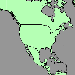
FAO GAUL: Global Administrative Unit Layers 2015, Country Boundaries

The Global Administrative Unit Layers (GAUL) compiles and disseminates the best available information on administrative units for all the countries in the world, providing a contribution to the standardization of the spatial dataset representing administrative units. The GAUL always maintains global layers with a unified … borders countries fao gaul infrastructure-boundaries table -
FAO GAUL: Global Administrative Unit Layers 2015, First-Level Administrative Units
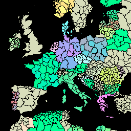
The Global Administrative Unit Layers (GAUL) compiles and disseminates the best available information on administrative units for all the countries in the world, providing a contribution to the standardization of the spatial dataset representing administrative units. The GAUL always maintains global layers with a unified … borders departments fao gaul infrastructure-boundaries provinces -
FAO GAUL: Global Administrative Unit Layers 2015, Second-Level Administrative Units
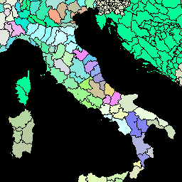
The Global Administrative Unit Layers (GAUL) compiles and disseminates the best available information on administrative units for all the countries in the world, providing a contribution to the standardization of the spatial dataset representing administrative units. The GAUL always maintains global layers with a unified … borders county districts fao gaul infrastructure-boundaries -
Fee: USGS GAP PAD-US v2.0
PAD-US is America's official national inventory of U.S. terrestrial and marine protected areas that are dedicated to the preservation of biological diversity and to other natural, recreation and cultural uses, managed for these purposes through legal or other effective means. This database is separated into … conservation-easements designation infrastructure-boundaries management ownership protected-areas -
Global Power Plant Database
The Global Power Plant Database is a comprehensive, open source database of power plants around the world. It centralizes power plant data to make it easier to navigate, compare and draw insights. Each power plant is geolocated and entries contain information on plant capacity, generation, … infrastructure-boundaries table wri -
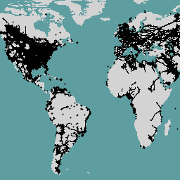
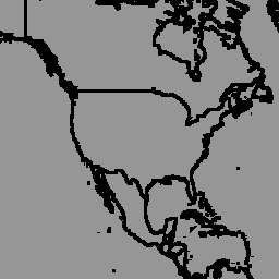
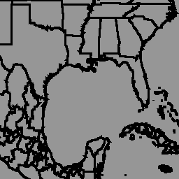
LSIB 2017: Large Scale International Boundary Polygons, Detailed

The United States Office of the Geographer provides the Large Scale International Boundary (LSIB) dataset. It is derived from two other datasets: a LSIB line vector file and the World Vector Shorelines (WVS) from the National Geospatial-Intelligence Agency (NGA). The interior boundaries reflect U.S. government … borders countries dos infrastructure-boundaries political table -
LSIB 2017: Large Scale International Boundary Polygons, Simplified
The United States Office of the Geographer provides the Large Scale International Boundary (LSIB) dataset. The detailed version (2013) is derived from two other datasets: a LSIB line vector file and the World Vector Shorelines (WVS) from the National Geospatial-Intelligence Agency (NGA). The interior boundaries … borders countries dos infrastructure-boundaries political table -
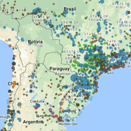
OGIM: Oil and Gas Infrastructure Mapping Database v2.5.1
This dataset provides the locations of oil and gas (O&G) related infrastructure globally. The Oil and Gas Infrastructure Mapping (OGIM) database is a project developed by the Environmental Defense Fund (EDF) and MethaneSAT LLC, a wholly-owned subsidiary of EDF. The primary objective of developing a … edf emissions ghg infrastructure-boundaries methane methaneair -
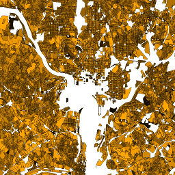
Overture Maps - Places: Place
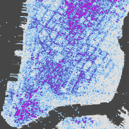
The Overture Maps Places theme contains more than 64 million point representations of real-world entities: businesses, schools, hospitals, religious organizations, landmarks, mountain peaks, and much more. Each place record includes location coordinates, names, categories, contact information (websites, social media, emails, phones), brand information, addresses, and … global infrastructure-boundaries map population publisher-dataset urban -
Proclamation: USGS GAP PAD-US v2.0
PAD-US is America's official national inventory of U.S. terrestrial and marine protected areas that are dedicated to the preservation of biological diversity and to other natural, recreation and cultural uses, managed for these purposes through legal or other effective means. This database is separated into … conservation-easements designation infrastructure-boundaries management ownership protected-areas -
TIGER: 2020 Tabulation (Census) Block
The United States Census Bureau regularly releases a geodatabase named TIGER. This dataset contains the 2020 census blocks, roughly equivalent to a city block. There are just over eight million polygon features covering the United States, the District of Columbia, Puerto Rico, and the Island … census city infrastructure-boundaries neighborhood table tiger -
TIGER: US Census Block Groups (BG) 2010

The United States Census Bureau regularly releases a geodatabase named TIGER. This dataset contains the 2010 census block groups, which is a cluster of blocks within the same census tract that have the same first digit of their four-digit census block number. There are just … census city infrastructure-boundaries neighborhood table tiger -
TIGER: US Census Block Groups (BG) 2020
The United States Census Bureau regularly releases a geodatabase named TIGER. This dataset contains the 2020 census block groups, which is a cluster of blocks within the same census tract that have the same first digit of their four-digit census block number. There are just … census city infrastructure-boundaries neighborhood table tiger -
TIGER: US Census Blocks
The United States Census Bureau regularly releases a geodatabase named TIGER. This dataset contains the 2010 census blocks, roughly equivalent to a city block. There are just over 11 million polygon features covering the United States, the District of Columbia, Puerto Rico, and the Island … census city infrastructure-boundaries neighborhood table tiger -
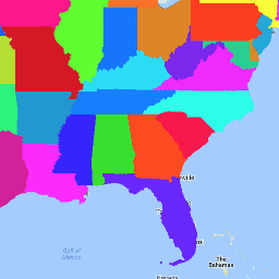
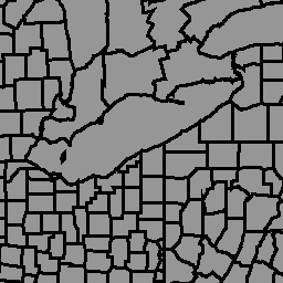
TIGER: US Census Counties 2016

The United States Census Bureau TIGER dataset contains the 2016 boundaries for primary legal divisions of US states. In most states, these entities are termed "counties". In Louisiana, these divisions are known as "parishes". Alaska has governmental entities called "boroughs" which fill a similar governmental … census county infrastructure-boundaries table tiger us -
TIGER: US Census Counties 2018
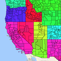
The United States Census Bureau TIGER dataset contains the 2018 boundaries for primary legal divisions of US states. In most states, these entities are termed "counties". In Louisiana, these divisions are known as "parishes". Alaska has governmental entities called "boroughs" which fill a similar governmental … census county infrastructure-boundaries table tiger us -
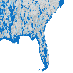
TIGER: US Census Roads
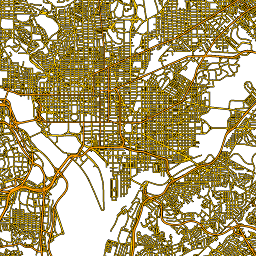
This United States Census Bureau TIGER dataset contains all road segments from the 2016 release, containing more than 19 million individual line features covering the United States, the District of Columbia, Puerto Rico, and the Island Areas. Each feature represents a road segment geometry (a … census infrastructure-boundaries roads table tiger us -
TIGER: US Census States 2016

The United States Census Bureau TIGER dataset contains the 2016 boundaries for the primary governmental divisions of the United States. In addition to the fifty states, the Census Bureau treats the District of Columbia, Puerto Rico, and each of the island areas (American Samoa, the … census infrastructure-boundaries state states table tiger -
TIGER: US Census States 2018
The United States Census Bureau TIGER dataset contains the 2018 boundaries for the primary governmental divisions of the United States. In addition to the fifty states, the Census Bureau treats the District of Columbia, Puerto Rico, and each of the island areas (American Samoa, the … census infrastructure-boundaries state states table tiger -
TIGER: US Census Tracts
The United States Census Bureau regularly releases a geodatabase named TIGER. This dataset contains the 2020 census tracts. Tract areas vary tremendously, but in urban areas are roughly equivalent to a neighborhood. There are just over 85000 polygon features covering the United States, the District … census city infrastructure-boundaries neighborhood table tiger -
TIGER: US Census Tracts Demographic - Profile 1
The United States Census Bureau regularly releases a geodatabase named TIGER. This table contains the 2010 census Demographic Profile 1 values aggregated by census tract. Tract areas vary tremendously, but in urban areas are roughly equivalent to a neighborhood. There are about 74,000 polygon features … census infrastructure-boundaries table tiger us -
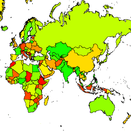
United Nations Geospatial Data: BNDA_simplified
The United Nations Geospatial Data, or Geodata, is a worldwide geospatial dataset of the United Nations. The United Nations Geodata is provided to facilitate the preparation of cartographic materials in the United Nations includes geometry, attributes and labels to facilitate the adequate depiction and naming … borders countries infrastructure-boundaries table -
geoBoundaries: Political administrative boundaries at Country level (ADM0), v6.0.0
The geoBoundaries Global Database of Political Administrative Boundaries Database is an online, open license resource of boundaries (i.e., state, county) for every country in the world. Currently 199 total entities are tracked, including all 195 UN member states, Greenland, Taiwan, Niue, and Kosovo. Comprehensive Global … borders countries infrastructure-boundaries table -
geoBoundaries: Political administrative boundaries at District level (ADM1), v6.0.0
The geoBoundaries Global Database of Political Administrative Boundaries Database is an online, open license resource of boundaries (i.e., state, county) for every country in the world. Currently 199 total entities are tracked, including all 195 UN member states, Greenland, Taiwan, Niue, and Kosovo. Comprehensive Global … borders countries infrastructure-boundaries table -
geoBoundaries: Political administrative boundaries at Municipality level (ADM2), v6.0.0
The geoBoundaries Global Database of Political Administrative Boundaries Database is an online, open license resource of boundaries (i.e., state, county) for every country in the world. Currently 199 total entities are tracked, including all 195 UN member states, Greenland, Taiwan, Niue, and Kosovo. Comprehensive Global … borders countries infrastructure-boundaries table