Page Summary
-
TIGER is a geodatabase released by the United States Census Bureau containing census block, block group, and tract data.
-
The TIGER dataset includes 2010 and 2020 census block data, roughly equivalent to a city block.
-
The TIGER dataset includes 2010 and 2020 census block group data, which are clusters of blocks within the same census tract.
-
The TIGER dataset includes 2020 census tract data, which vary in size and are roughly equivalent to a neighborhood in urban areas.
-
These datasets contain millions of polygon features covering the United States, the District of Columbia, Puerto Rico, and the Island areas.
-
TIGER: 2020 Tabulation (Census) Block
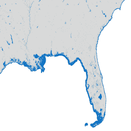
The United States Census Bureau regularly releases a geodatabase named TIGER. This dataset contains the 2020 census blocks, roughly equivalent to a city block. There are just over eight million polygon features covering the United States, the District of Columbia, Puerto Rico, and the Island … census city infrastructure-boundaries neighborhood table tiger -
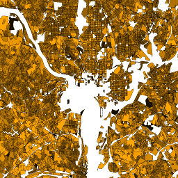
TIGER: US Census Block Groups (BG) 2010

The United States Census Bureau regularly releases a geodatabase named TIGER. This dataset contains the 2010 census block groups, which is a cluster of blocks within the same census tract that have the same first digit of their four-digit census block number. There are just … census city infrastructure-boundaries neighborhood table tiger -
TIGER: US Census Block Groups (BG) 2020
The United States Census Bureau regularly releases a geodatabase named TIGER. This dataset contains the 2020 census block groups, which is a cluster of blocks within the same census tract that have the same first digit of their four-digit census block number. There are just … census city infrastructure-boundaries neighborhood table tiger -
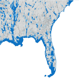
TIGER: US Census Blocks
The United States Census Bureau regularly releases a geodatabase named TIGER. This dataset contains the 2010 census blocks, roughly equivalent to a city block. There are just over 11 million polygon features covering the United States, the District of Columbia, Puerto Rico, and the Island … census city infrastructure-boundaries neighborhood table tiger -
TIGER: US Census Tracts
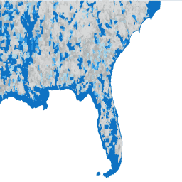
The United States Census Bureau regularly releases a geodatabase named TIGER. This dataset contains the 2020 census tracts. Tract areas vary tremendously, but in urban areas are roughly equivalent to a neighborhood. There are just over 85000 polygon features covering the United States, the District … census city infrastructure-boundaries neighborhood table tiger