Page Summary
-
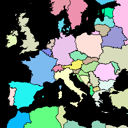
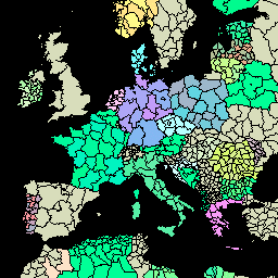
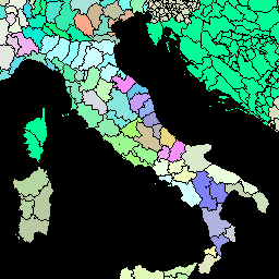
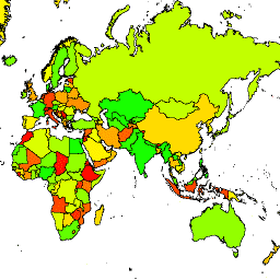
Several datasets provide global administrative unit layers and country boundaries.
-
These datasets offer information on various administrative levels, including country, first-level, and second-level units.
-
Some datasets are simplified for different uses.
-
The data sources include FAO, United States Office of the Geographer (LSIB), United Nations Geospatial Data, and geoBoundaries.
-
These datasets contribute to standardizing spatial data for administrative units worldwide.
-
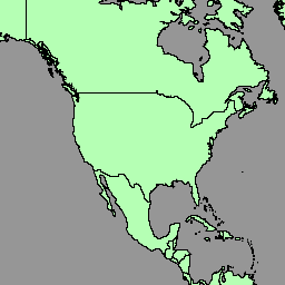
FAO GAUL 500m Simplified: Global Administrative Unit Layers 2015, Country Boundaries
This version of GAUL dataset is simplified at 500m. The Global Administrative Unit Layers (GAUL) compiles and disseminates the best available information on administrative units for all the countries in the world, providing a contribution to the standardization of the spatial dataset representing administrative units. … borders countries fao gaul infrastructure-boundaries table -
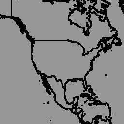
FAO GAUL 500m Simplified: Global Administrative Unit Layers 2015, First-Level Administrative Units

This version of GAUL dataset is simplified at 500m. The Global Administrative Unit Layers (GAUL) compiles and disseminates the best available information on administrative units for all the countries in the world, providing a contribution to the standardization of the spatial dataset representing administrative units. … borders departments fao gaul infrastructure-boundaries provinces -
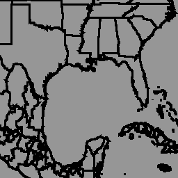
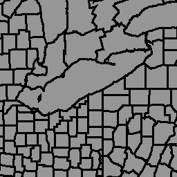
FAO GAUL 500m Simplified: Global Administrative Unit Layers 2015, Second-Level Administrative Units

This version of GAUL dataset is simplified at 500m. The Global Administrative Unit Layers (GAUL) compiles and disseminates the best available information on administrative units for all the countries in the world, providing a contribution to the standardization of the spatial dataset representing administrative units. … borders county districts fao gaul infrastructure-boundaries -
FAO GAUL: Global Administrative Unit Layers 2015, Country Boundaries

The Global Administrative Unit Layers (GAUL) compiles and disseminates the best available information on administrative units for all the countries in the world, providing a contribution to the standardization of the spatial dataset representing administrative units. The GAUL always maintains global layers with a unified … borders countries fao gaul infrastructure-boundaries table -
FAO GAUL: Global Administrative Unit Layers 2015, First-Level Administrative Units
The Global Administrative Unit Layers (GAUL) compiles and disseminates the best available information on administrative units for all the countries in the world, providing a contribution to the standardization of the spatial dataset representing administrative units. The GAUL always maintains global layers with a unified … borders departments fao gaul infrastructure-boundaries provinces -
FAO GAUL: Global Administrative Unit Layers 2015, Second-Level Administrative Units
The Global Administrative Unit Layers (GAUL) compiles and disseminates the best available information on administrative units for all the countries in the world, providing a contribution to the standardization of the spatial dataset representing administrative units. The GAUL always maintains global layers with a unified … borders county districts fao gaul infrastructure-boundaries -
LSIB 2017: Large Scale International Boundary Polygons, Detailed

The United States Office of the Geographer provides the Large Scale International Boundary (LSIB) dataset. It is derived from two other datasets: a LSIB line vector file and the World Vector Shorelines (WVS) from the National Geospatial-Intelligence Agency (NGA). The interior boundaries reflect U.S. government … borders countries dos infrastructure-boundaries political table -
LSIB 2017: Large Scale International Boundary Polygons, Simplified
The United States Office of the Geographer provides the Large Scale International Boundary (LSIB) dataset. The detailed version (2013) is derived from two other datasets: a LSIB line vector file and the World Vector Shorelines (WVS) from the National Geospatial-Intelligence Agency (NGA). The interior boundaries … borders countries dos infrastructure-boundaries political table -
United Nations Geospatial Data: BNDA_simplified
The United Nations Geospatial Data, or Geodata, is a worldwide geospatial dataset of the United Nations. The United Nations Geodata is provided to facilitate the preparation of cartographic materials in the United Nations includes geometry, attributes and labels to facilitate the adequate depiction and naming … borders countries infrastructure-boundaries table -
geoBoundaries: Political administrative boundaries at Country level (ADM0), v6.0.0
The geoBoundaries Global Database of Political Administrative Boundaries Database is an online, open license resource of boundaries (i.e., state, county) for every country in the world. Currently 199 total entities are tracked, including all 195 UN member states, Greenland, Taiwan, Niue, and Kosovo. Comprehensive Global … borders countries infrastructure-boundaries table -
geoBoundaries: Political administrative boundaries at District level (ADM1), v6.0.0
The geoBoundaries Global Database of Political Administrative Boundaries Database is an online, open license resource of boundaries (i.e., state, county) for every country in the world. Currently 199 total entities are tracked, including all 195 UN member states, Greenland, Taiwan, Niue, and Kosovo. Comprehensive Global … borders countries infrastructure-boundaries table -
geoBoundaries: Political administrative boundaries at Municipality level (ADM2), v6.0.0
The geoBoundaries Global Database of Political Administrative Boundaries Database is an online, open license resource of boundaries (i.e., state, county) for every country in the world. Currently 199 total entities are tracked, including all 195 UN member states, Greenland, Taiwan, Niue, and Kosovo. Comprehensive Global … borders countries infrastructure-boundaries table