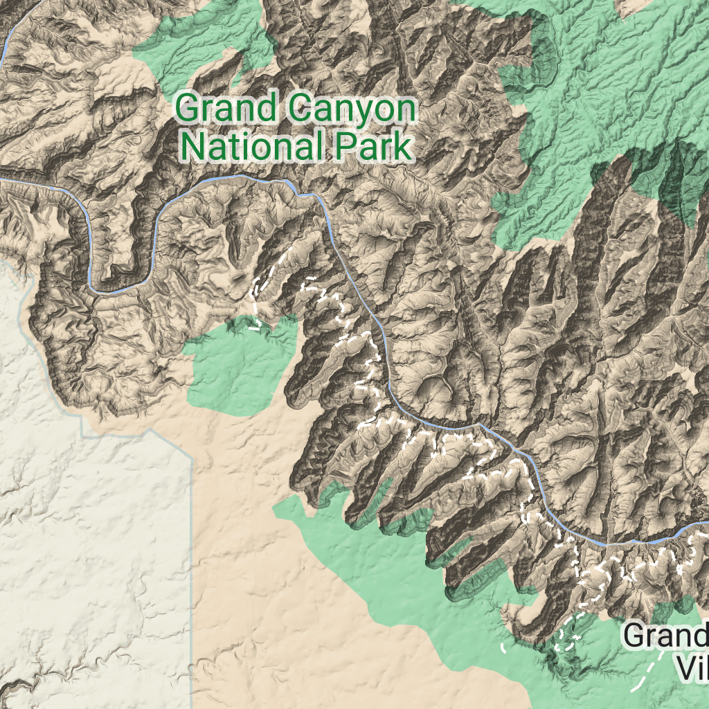
Kafelki terenu
Zadbaj o dobrą organizację dzięki kolekcji
Zapisuj i kategoryzuj treści zgodnie ze swoimi preferencjami.
Deweloperzy z Europejskiego Obszaru Gospodarczego (EOG)
Kafelki terenu to kafelki obrazów zawierające mapowanie cieniowania wzgórz i poziomice. Obejmują one elementy naturalne, takie jak roślinność.
Pobieranie kafelków terenu
Po uzyskaniu tokena sesji możesz zacząć wysyłać żądania dotyczące kafelków terenu.
Token sesji dotyczy całej sesji, więc nie musisz określać opcji mapy w prośbach o kafelki.
Poniższy przykładowy kod pokazuje typowe żądanie tokena sesji w przypadku kafelków terenu.
[[["Łatwo zrozumieć","easyToUnderstand","thumb-up"],["Rozwiązało to mój problem","solvedMyProblem","thumb-up"],["Inne","otherUp","thumb-up"]],[["Brak potrzebnych mi informacji","missingTheInformationINeed","thumb-down"],["Zbyt skomplikowane / zbyt wiele czynności do wykonania","tooComplicatedTooManySteps","thumb-down"],["Nieaktualne treści","outOfDate","thumb-down"],["Problem z tłumaczeniem","translationIssue","thumb-down"],["Problem z przykładami/kodem","samplesCodeIssue","thumb-down"],["Inne","otherDown","thumb-down"]],["Ostatnia aktualizacja: 2026-06-19 UTC."],[],["Terrain tiles, which include hillshade mapping, contour lines, and natural features, are accessed by first obtaining a session token via a POST request specifying the map type, language, region, and layer types. Subsequently, tiles are retrieved with HTTPS GET requests, providing the zoom level (z), x and y coordinates, and the session token. An example demonstrates requesting a tile at zoom level 10, with coordinates (192, 401). The tile data downloads to a local file, without a server response message.\n"]]

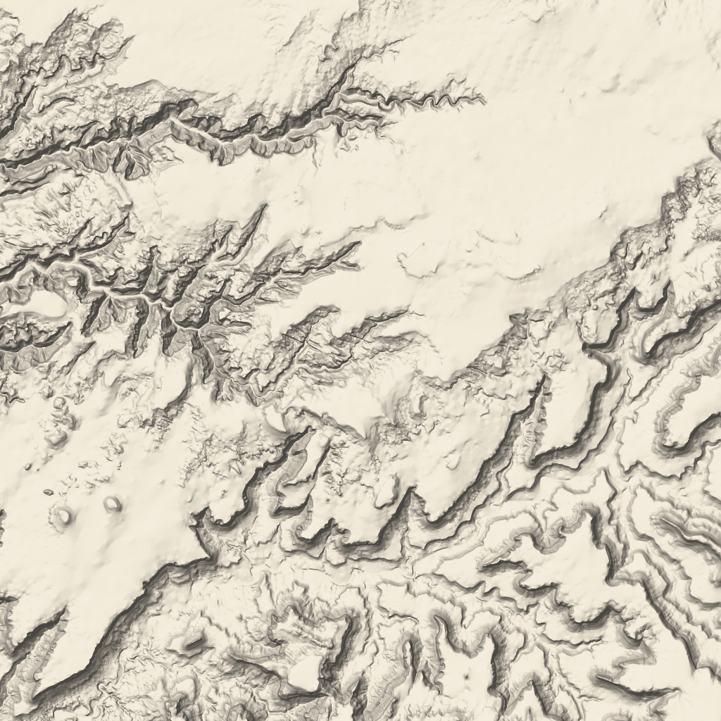 Kafelki terenu to kafelki obrazów zawierające mapowanie cieniowania wzgórz i poziomice. Obejmują one elementy naturalne, takie jak roślinność.