इलाके की टाइल
संग्रह की मदद से व्यवस्थित रहें
अपनी प्राथमिकताओं के आधार पर, कॉन्टेंट को सेव करें और कैटगरी में बांटें.
यूरोपियन इकनॉमिक एरिया (ईईए) के डेवलपर
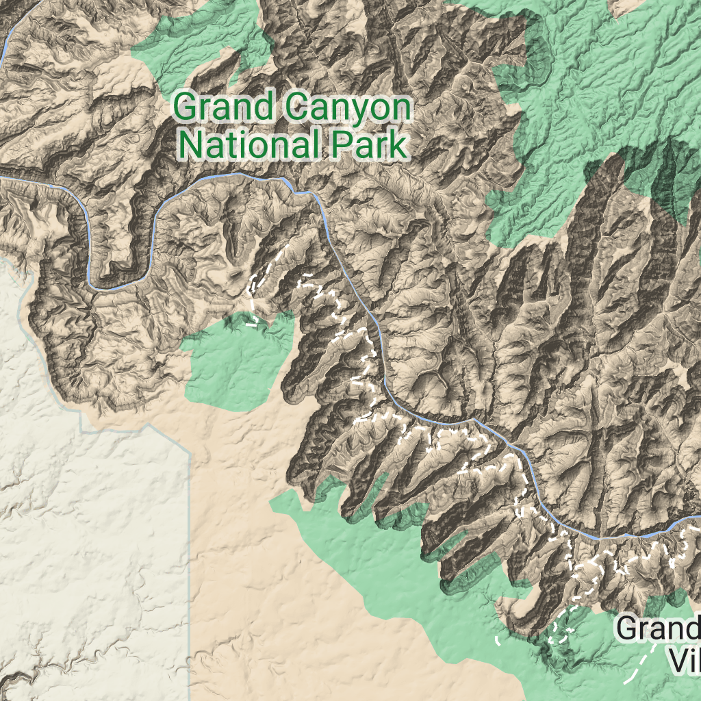
टेरेन टाइलें, इमेज टाइलें होती हैं. इनमें हिलशेड मैपिंग और कॉन्टूर लाइनें शामिल होती हैं. इनमें प्राकृतिक चीज़ें शामिल होती हैं, जैसे कि वनस्पति.
टेरेन टाइल पाना
सेशन टोकन मिलने के बाद, टेरेन टाइल के अनुरोध किए जा सकते हैं.
सेशन टोकन पूरे सेशन पर लागू होता है. इसलिए, आपको टाइल के अनुरोधों के साथ मैप के विकल्पों के बारे में जानकारी देने की ज़रूरत नहीं होती.
नीचे दिए गए कोड सैंपल में, टेरेन टाइल के लिए सामान्य सेशन टोकन अनुरोध दिखाया गया है.
[[["समझने में आसान है","easyToUnderstand","thumb-up"],["मेरी समस्या हल हो गई","solvedMyProblem","thumb-up"],["अन्य","otherUp","thumb-up"]],[["वह जानकारी मौजूद नहीं है जो मुझे चाहिए","missingTheInformationINeed","thumb-down"],["बहुत मुश्किल है / बहुत सारे चरण हैं","tooComplicatedTooManySteps","thumb-down"],["पुराना","outOfDate","thumb-down"],["अनुवाद से जुड़ी समस्या","translationIssue","thumb-down"],["सैंपल / कोड से जुड़ी समस्या","samplesCodeIssue","thumb-down"],["अन्य","otherDown","thumb-down"]],["आखिरी बार 2026-06-17 (UTC) को अपडेट किया गया."],[],["Terrain tiles, which include hillshade mapping, contour lines, and natural features, are accessed by first obtaining a session token via a POST request specifying the map type, language, region, and layer types. Subsequently, tiles are retrieved with HTTPS GET requests, providing the zoom level (z), x and y coordinates, and the session token. An example demonstrates requesting a tile at zoom level 10, with coordinates (192, 401). The tile data downloads to a local file, without a server response message.\n"]]

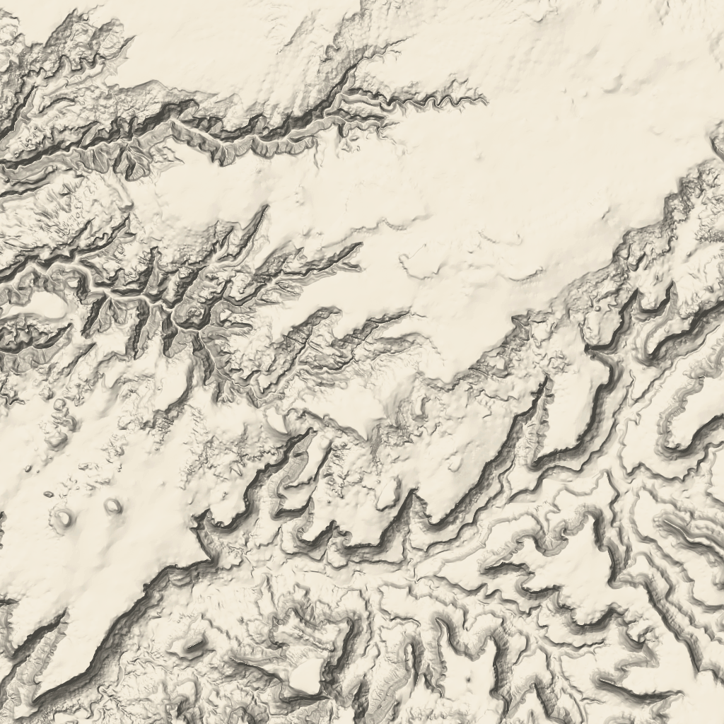 टेरेन टाइलें, इमेज टाइलें होती हैं. इनमें हिलशेड मैपिंग और कॉन्टूर लाइनें शामिल होती हैं. इनमें प्राकृतिक चीज़ें शामिल होती हैं, जैसे कि वनस्पति.