بلاط التضاريس
تنظيم صفحاتك في مجموعات
يمكنك حفظ المحتوى وتصنيفه حسب إعداداتك المفضّلة.
المطوّرون في المنطقة الاقتصادية الأوروبية
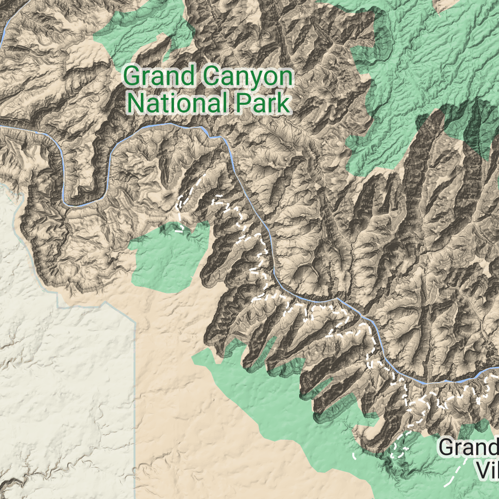
مربّعات التضاريس هي مربّعات صور تحتوي على خرائط تظليل التلال وخطوط كنتورية. وتشمل هذه الميزات الطبيعية، مثل النباتات.
الحصول على مربّعات التضاريس
يمكنك البدء في تقديم طلبات للحصول على مربّعات التضاريس بعد الحصول على رمز مميّز للجلسة.
بما أنّ الرمز المميز للجلسة ينطبق على الجلسة بأكملها، ليس عليك تحديد خيارات الخريطة مع طلبات المربّعات.
يوضّح نموذج الرمز البرمجي التالي طلبًا نموذجيًا للرمز المميز للجلسة من أجل مربّعات التضاريس.
تاريخ التعديل الأخير: 2026-06-19 (حسب التوقيت العالمي المتفَّق عليه)
[[["يسهُل فهم المحتوى.","easyToUnderstand","thumb-up"],["ساعَدني المحتوى في حلّ مشكلتي.","solvedMyProblem","thumb-up"],["غير ذلك","otherUp","thumb-up"]],[["لا يحتوي على المعلومات التي أحتاج إليها.","missingTheInformationINeed","thumb-down"],["الخطوات معقدة للغاية / كثيرة جدًا.","tooComplicatedTooManySteps","thumb-down"],["المحتوى قديم.","outOfDate","thumb-down"],["ثمة مشكلة في الترجمة.","translationIssue","thumb-down"],["مشكلة في العيّنات / التعليمات البرمجية","samplesCodeIssue","thumb-down"],["غير ذلك","otherDown","thumb-down"]],["تاريخ التعديل الأخير: 2026-06-19 (حسب التوقيت العالمي المتفَّق عليه)"],[],["Terrain tiles, which include hillshade mapping, contour lines, and natural features, are accessed by first obtaining a session token via a POST request specifying the map type, language, region, and layer types. Subsequently, tiles are retrieved with HTTPS GET requests, providing the zoom level (z), x and y coordinates, and the session token. An example demonstrates requesting a tile at zoom level 10, with coordinates (192, 401). The tile data downloads to a local file, without a server response message.\n"]]

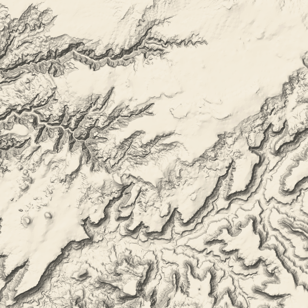 مربّعات التضاريس هي مربّعات صور تحتوي على خرائط تظليل التلال وخطوط كنتورية. وتشمل هذه الميزات الطبيعية، مثل النباتات.