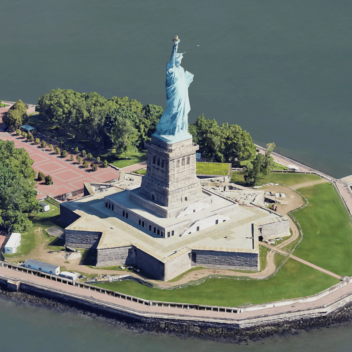
 Photorealistic 3D Tiles は、OGC 3D Tiles 形式で Google の 3D 地理データを含む地図タイルです。独自の 3D タイル レンダラを使用して Google の 3D 地図をレンダリングすることも、3D 地理空間可視化用のオープンソース ライブラリを使用することもできます。
3D Tiles を使用する理由
Google は、次世代の可視化ユースケース向けに 3D タイルを提供しています。3D タイルを使用すると、Google Earth と同様に、見事な 3D パースペクティブ ビューを構築できます。これらのビューは、ユーザーが地理的なコンテキストをよりよく理解し、ナビゲーションを改善するのに役立ちます。また、ストーリーテリングの場所を紹介することもできます。任意のレンダラを使用して、シーン内をカメラでスムーズに移動し、さまざまな角度からシーンを表示することもできます。
対象地域
Map Tiles API の対応範囲をご確認ください。Google は画像を定期的に更新し、追加しています。
3D ソリューション
Google Maps Platform アーキテクチャ センターには、アプリの作成を開始する際に参考になる 3D ソリューションの例が掲載されています。
3D エリア エクスプローラ: 詳細な 3D 映像で映し出された周辺地域やエリアをバーチャルに探検できます。
3D ストーリーテリング: ストーリーテリングとマッピングの架け橋となり、クリエイターが高画質 3D タイルを使って没入感のあるインタラクティブなストーリーを作成できるようにします。
