Page Summary
-
The Climate Hazards Center InfraRed Temperature with Stations daily temperature data product (CHIRTS-daily) provides quasi-global, high-resolution gridded daily minimum and maximum temperatures.
-
ERA5 is the fifth generation ECMWF atmospheric reanalysis that combines model data with observations to create globally complete and consistent climate datasets available at daily, hourly, and monthly aggregations.
-
ERA5-Land is an enhanced resolution reanalysis dataset focusing on land variables, produced by replaying the land component of ERA5 and available in daily, hourly, and monthly aggregations.
-
The NCEP-DOE Reanalysis 2 and NCEP/NCAR Reanalysis Projects are joint efforts to produce new atmospheric analyses using historical data for various climate variables including cloud cover, sea-level pressure, surface temperature, and water vapor.
-
CHIRTS Temperature Daily: Climate Hazards Center InfraRed Temperature with Stations daily data product

The Climate Hazards Center InfraRed Temperature with Stations daily temperature data product (CHIRTS-daily; Verdin et al. 2020) is a quasi global, high-resolution gridded dataset (0.05° × 0.05° resolution, 60°S - 70°N) that provides daily minimum (Tmin) and maximum 2-meter temperatures (Tmax) and four derived variables: saturation vapor … chg climate daily era5 geophysical reanalysis -
ERA5 Daily Aggregates - Latest Climate Reanalysis Produced by ECMWF / Copernicus Climate Change Service
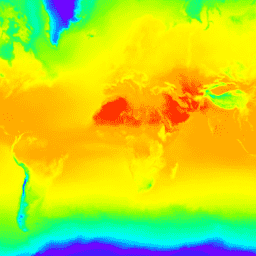
ERA5 is the fifth generation ECMWF atmospheric reanalysis of the global climate. Reanalysis combines model data with observations from across the world into a globally complete and consistent dataset. ERA5 replaces its predecessor, the ERA-Interim reanalysis. ERA5 DAILY provides aggregated values for each day for … climate copernicus dewpoint ecmwf era5 precipitation -
ERA5 Hourly - ECMWF Climate Reanalysis
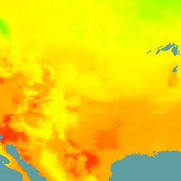
ERA5 is the fifth generation ECMWF atmospheric reanalysis of the global climate. It is produced by the Copernicus Climate Change Service (C3S) at ECMWF. Reanalysis combines model data with observations from across the world into a globally complete and consistent dataset using the laws of … atmosphere climate copernicus ecmwf era5 hourly -
ERA5 Monthly Aggregates - Latest Climate Reanalysis Produced by ECMWF / Copernicus Climate Change Service
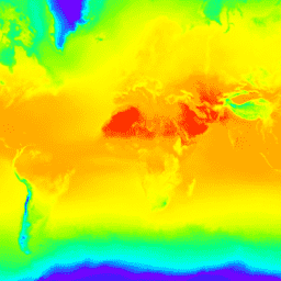
ERA5 is the fifth generation ECMWF atmospheric reanalysis of the global climate. Reanalysis combines model data with observations from across the world into a globally complete and consistent dataset. ERA5 replaces its predecessor, the ERA-Interim reanalysis. ERA5 MONTHLY provides aggregated values for each month for … climate copernicus dewpoint ecmwf era5 precipitation -
ERA5-Land Daily Aggregated - ECMWF Climate Reanalysis
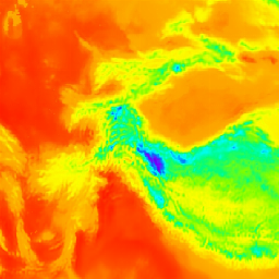
ERA5-Land is a reanalysis dataset providing a consistent view of the evolution of land variables over several decades at an enhanced resolution compared to ERA5. ERA5-Land has been produced by replaying the land component of the ECMWF ERA5 climate reanalysis. Reanalysis combines model data with … cds climate copernicus ecmwf era5-land evaporation -
ERA5-Land Hourly - ECMWF Climate Reanalysis
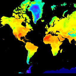
ERA5-Land is a reanalysis dataset providing a consistent view of the evolution of land variables over several decades at an enhanced resolution compared to ERA5. ERA5-Land has been produced by replaying the land component of the ECMWF ERA5 climate reanalysis. Reanalysis combines model data with … cds climate copernicus ecmwf era5-land evaporation -
ERA5-Land Monthly Aggregated - ECMWF Climate Reanalysis
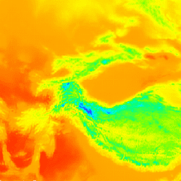
ERA5-Land is a reanalysis dataset providing a consistent view of the evolution of land variables over several decades at an enhanced resolution compared to ERA5. ERA5-Land has been produced by replaying the land component of the ECMWF ERA5 climate reanalysis. Reanalysis combines model data with … cds climate copernicus ecmwf era5-land evaporation -
ERA5-Land Monthly Averaged by Hour of Day - ECMWF Climate Reanalysis
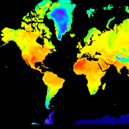
ERA5-Land is a reanalysis dataset providing a consistent view of the evolution of land variables over several decades at an enhanced resolution compared to ERA5. ERA5-Land has been produced by replaying the land component of the ECMWF ERA5 climate reanalysis. Reanalysis combines model data with … cds climate copernicus ecmwf era5-land evaporation -
NCEP-DOE Reanalysis 2 (Gaussian Grid), Total Cloud Coverage
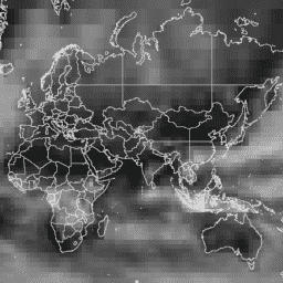
NCEP-DOE Reanalysis 2 project is using a state-of-the-art analysis/forecast system to perform data assimilation using past data from 1979 through the previous year. atmosphere climate cloud geophysical ncep noaa -
NCEP/NCAR Reanalysis Data, Sea-Level Pressure
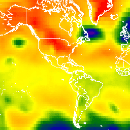
The NCEP/NCAR Reanalysis Project is a joint project between the National Centers for Environmental Prediction (NCEP, formerly "NMC") and the National Center for Atmospheric Research (NCAR). The goal of this joint effort is to produce new atmospheric analyses using historical data as well as to … atmosphere climate geophysical ncep noaa pressure -
NCEP/NCAR Reanalysis Data, Surface Temperature
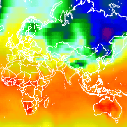
The NCEP/NCAR Reanalysis Project is a joint project between the National Centers for Environmental Prediction (NCEP, formerly "NMC") and the National Center for Atmospheric Research (NCAR). The goal of this joint effort is to produce new atmospheric analyses using historical data as well as to … atmosphere climate geophysical ncep noaa reanalysis -
NCEP/NCAR Reanalysis Data, Water Vapor
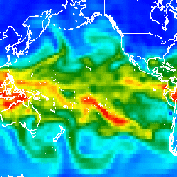
The NCEP/NCAR Reanalysis Project is a joint project between the National Centers for Environmental Prediction (NCEP, formerly "NMC") and the National Center for Atmospheric Research (NCAR). The goal of this joint effort is to produce new atmospheric analyses using historical data as well as to … atmosphere climate geophysical ncep noaa reanalysis