Page Summary
-
Forest Persistence v0 provides a per-pixel score indicating undisturbed forest area in 2020, although it is not yet peer-reviewed.
-
The Global 2020 Forest Classification for IPCC Aboveground Biomass Tier 1 Estimates, V1 offers global forest classes by status/condition at 30m resolution for Tier 1 biomass estimates.
-
The Global map of forest types 2020 explicitly represents primary, naturally regenerating, and planted forests at 10m resolution based on forest cover extent.
-
EC JRC global map of forest types 2020, V1

The global map of forest types provides a spatially explicit representation of primary forest, naturally regenerating forest and planted forest (including plantation forest) for the year 2020 at 10m spatial resolution. The base layer for mapping these forest types is the extent of forest cover … eudr forest forest-biomass jrc landcover primary-forest -
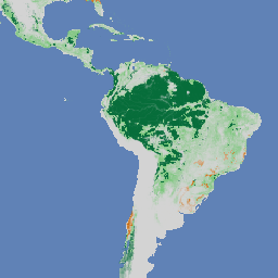
Forest Persistence v0

Note: This dataset is not yet peer-reviewed. Please see the GitHub README associated with this model for more information. This image provides a per-pixel score (in [0, 1]) that indicates whether the pixel area is occupied by undisturbed forest in year 2020. These scores are … biodiversity conservation deforestation eudr forest-biomass forestdatapartnership -
Global 2020 Forest Classification for IPCC Aboveground Biomass Tier 1 Estimates, V1

This dataset provides classes of global forests delineated by status/condition in 2020 at approximately 30m resolution. The data support generating Tier 1 estimates for Aboveground dry woody Biomass Density (AGBD) in natural forests in the 2019 Refinement to the 2006 IPCC Guidelines for National Greenhouse … aboveground biomass carbon classification forest forest-biomass