Page Summary
-
Multiple datasets provide probability estimates for the presence of commodities like Cocoa, Coffee, Palm, and Rubber Trees at a 10-meter resolution.
-
The Natural Forests of the World 2020 dataset offers a global map of natural forest probability at 10-meter resolution to support initiatives like the EUDR.
-
Farmscapes 2020 provides high-resolution (25cm) probability maps for semi-natural features like hedgerows, woodland, and stone walls in England.
-
The RESOLVE Ecoregions 2017 dataset maps 846 terrestrial ecoregions globally, defining them as distinct ecosystems of regional extent.
-
The Global Map of Oil Palm Plantations provides a 10m global map for 2019 covering areas where industrial and smallholder oil palm plantations were detected.
-
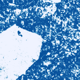
Cocoa Probability model 2025a

This image collection provides estimated per-pixel probability that the underlying area is occupied by the commodity. The probability estimates are provided at 10 meter resolution, and have been generated by a machine learning model. For details, see the technical documentation on the Forest Data Partnership … agriculture biodiversity cocoa conservation crop eudr -
Cocoa Probability model 2025b
This image collection provides estimated per-pixel probability that the underlying area is occupied by the commodity. The probability estimates are provided at 10 meter resolution, and have been generated by a machine learning model. For details, see the technical documentation on the Forest Data Partnership … agriculture alphaearth-derived biodiversity cocoa conservation crop -
Coffee Probability model 2025a

This image collection provides estimated per-pixel probability that the underlying area is occupied by the commodity. The probability estimates are provided at 10 meter resolution, and have been generated by a machine learning model. For details, see the technical documentation on the Forest Data Partnership … agriculture biodiversity coffee conservation crop eudr -
Coffee Probability model 2025b
This image collection provides estimated per-pixel probability that the underlying area is occupied by the commodity. The probability estimates are provided at 10 meter resolution, and have been generated by a machine learning model. For details, see the technical documentation on the Forest Data Partnership … agriculture alphaearth-derived biodiversity coffee conservation crop -
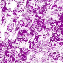
Farmscapes 2020
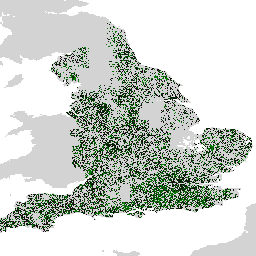
The Farmscapes 2020 dataset provides high-resolution (25cm) probability maps for three key semi-natural features within England's agricultural landscapes: hedgerows, woodland, and stone walls. This dataset was developed in collaboration with the Leverhulme Centre for Nature Recovery at Oxford to serve as a baseline for applications … biodiversity climate conservation ecological-connectivity forest landuse-landcover -
Farmscapes 2020 Vectorised
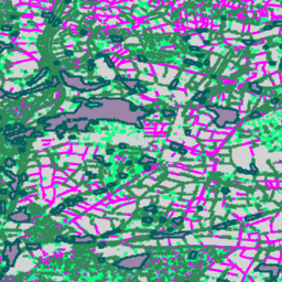
This is the vectorised version of the Farmscapes 2020 raster dataset. It provides polygon geometries representing fine-scale semi-natural landscape features (specifically hedgerows, woodland, and stone walls) across England's agricultural landscapes. This dataset was developed in collaboration with the Oxford Leverhulme Centre for Nature Recovery to … biodiversity climate conservation ecological-connectivity forest landuse-landcover -
Forest Persistence v0

This image provides a per-pixel score (in [0, 1]) that indicates whether the pixel area is occupied by undisturbed forest in year 2020. These scores are provided at 30 meter resolution, and have been generated by a convergence of evidence approach to combining multiple forest … biodiversity conservation deforestation eudr forest-biomass forestdatapartnership -
Forest Typology (ForTy) 2020 v1.0

The Forest Typology (ForTy) v1 dataset consists of a global per-class probability map at 10 m resolution covering all land areas between 65°S and 84°N latitude for the year 2020. The six-class typology is aligned with FAO and EU Deforestation Regulation (EUDR) definitions: Class 1 … alphaearth-derived biodiversity climate conservation deforestation eudr -
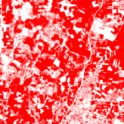
Global Map of Oil Palm Plantations
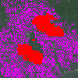
The dataset is a 10m global industrial and smallholder oil palm map for 2019. It covers areas where oil palm plantations were detected. The classified images are the output of a convolutional neural network based on Sentinel-1 and Sentinel-2 half-year composites. See article for additional … agriculture biodiversity conservation crop global landuse -
Natural Forests of the World 2020

Natural Forests of the World 2020, provides a global map of natural forest probability for the year 2020 at a 10-meter resolution. It was developed to support initiatives like the European Union's Deforestation Regulation (EUDR) and other efforts for forest conservation and monitoring. The map … biodiversity climate conservation deforestation eudr forest -
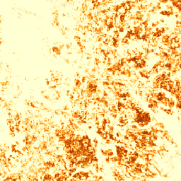
Palm Probability model 2025a
This image collection provides estimated per-pixel probability that the underlying area is occupied by the commodity. The probability estimates are provided at 10 meter resolution, and have been generated by a machine learning model. For details, see the technical documentation on the Forest Data Partnership … agriculture biodiversity conservation crop eudr forestdatapartnership -
Palm Probability model 2025b
This image collection provides estimated per-pixel probability that the underlying area is occupied by the commodity. The probability estimates are provided at 10 meter resolution, and have been generated by a machine learning model. For details, see the technical documentation on the Forest Data Partnership … agriculture alphaearth-derived biodiversity conservation crop eudr -
RESOLVE Ecoregions 2017
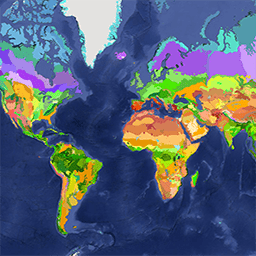
The RESOLVE Ecoregions dataset, updated in 2017, offers a depiction of the 846 terrestrial ecoregions that represent our living planet. View the stylized map at https://ecoregions2017.appspot.com/ or in Earth Engine. Ecoregions, in the simplest definition, are ecosystems of regional extent. Specifically, ecoregions represent distinct assemblages … biodiversity conservation ecoregions ecosystems global table -
Rubber Probability model 2025b
This image collection provides estimated per-pixel probability that the underlying area is occupied by the commodity. The probability estimates are provided at 10 meter resolution, and have been generated by a machine learning model. For details, see the technical documentation on the Forest Data Partnership … agriculture alphaearth-derived biodiversity conservation crop eudr -
Rubber Tree Probability model 2025a
This image collection provides estimated per-pixel probability that the underlying area is occupied by the commodity. The probability estimates are provided at 10 meter resolution, and have been generated by a machine learning model. For details, see the technical documentation on the Forest Data Partnership … agriculture biodiversity conservation crop eudr forestdatapartnership -
Species Distribution, Australia Mammals
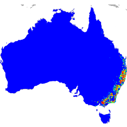
These species distribution model outputs, developed by Google in collaboration with QCIF and EcoCommons, represent estimates of species’ relative occurrence likelihoods (i.e., higher values indicate a higher likelihood that the species would be detected at a location, for a given survey methodology and given survey … alphaearth-derived biodiversity conservation ecosystems nature-trace publisher-dataset -
WDKBA: World Database of Key Biodiversity Areas (KBAs) - March 2026
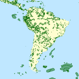
If you are interested in accessing the KBA dataset please complete the KBA data request form which will allow access directly in GEE once approved. Key Biodiversity Areas (KBAs) are 'sites contributing significantly to the global persistence of biodiversity’, in terrestrial, freshwater and marine ecosystems. … biodiversity boundaries ecosystems global iucn management -
iNaturalist Multispecies Open Range Maps
The iNaturalist Multispecies Range Dataset provides modeled geographic ranges for thousands of species. Dataset contains species polygons, with attributes such as taxon_id, name, scientific_name, and geomodel_version. Ranges are estimated from iNaturalist community observations and updated on a monthly basis. These datasets enable large-scale biodiversity analyses, … biodiversity ecosystems range species