Page Summary
-
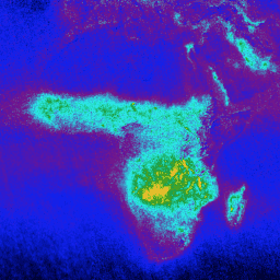
Formaldehyde (HCHO) concentration data is available in both near real-time (NRTI) and offline (OFFL) formats from the Sentinel-5P satellite.
-
Formaldehyde is a key intermediate gas in the oxidation of non-methane volatile organic compounds (NMVOCs).
-
TEMPO provides gridded Level 3 formaldehyde data, with and without quality filtering, derived from Level 2 East-West scan cycles.
-
Sentinel-5P NRTI HCHO: Near Real-Time Formaldehyde
NRTI/L3_HCHO This dataset provides near real-time high-resolution imagery of atmospheric formaldehyde (HCHO) concentrations. Formaldehyde is an intermediate gas in almost all oxidation chains of non-methane volatile organic compounds (NMVOC), leading eventually to CO2. Non-Methane Volatile Organic Compounds (NMVOCs) are, together with NOx, CO and CH4, … air-quality atmosphere bira copernicus dlr esa -
Sentinel-5P OFFL HCHO: Offline Formaldehyde

OFFL/L3_HCHO This dataset provides offline high-resolution imagery of atmospheric formaldehyde (HCHO) concentrations. Formaldehyde is an intermediate gas in almost all oxidation chains of non-methane volatile organic compounds (NMVOC), leading eventually to CO2. Non-Methane Volatile Organic Compounds (NMVOCs) are, together with NOx, CO and CH4, among … air-quality atmosphere bira copernicus dlr esa