Page Summary
-
These datasets provide high-resolution imagery of atmospheric cloud properties, formaldehyde (HCHO) concentrations, and sulfur dioxide (SO2) concentrations.
-
Data is available in both Near Real-Time (NRTI) and Offline (OFFL) versions.
-
The cloud property retrieval uses algorithms similar to those used for GOME and GOME-2 products.
-
Formaldehyde is an intermediate gas in the oxidation of non-methane volatile organic compounds.
-
Sulfur dioxide enters the atmosphere through natural and anthropogenic processes and has various impacts.
-
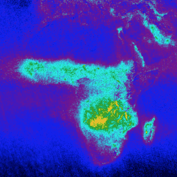
Sentinel-5P NRTI CLOUD: Near Real-Time Cloud Properties

NRTI/L3_CLOUD This dataset provides near real-time high-resolution imagery of cloud parameters. The TROPOMI/S5P cloud properties retrieval is based on the OCRA and ROCINN algorithms currently being used in the operational GOME and GOME-2 products. OCRA retrieves the cloud fraction using measurements in the UV/VIS spectral … atmosphere cloud copernicus dlr esa eu -
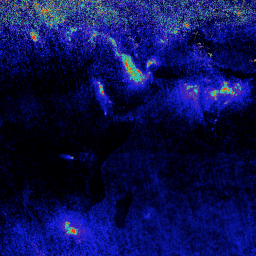
Sentinel-5P NRTI HCHO: Near Real-Time Formaldehyde
NRTI/L3_HCHO This dataset provides near real-time high-resolution imagery of atmospheric formaldehyde (HCHO) concentrations. Formaldehyde is an intermediate gas in almost all oxidation chains of non-methane volatile organic compounds (NMVOC), leading eventually to CO2. Non-Methane Volatile Organic Compounds (NMVOCs) are, together with NOx, CO and CH4, … air-quality atmosphere bira copernicus dlr esa -
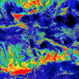
Sentinel-5P NRTI SO2: Near Real-Time Sulfur Dioxide
NRTI/L3_SO2 This dataset provides near real-time high-resolution imagery of atmospheric sulfur dioxide (SO2) concentrations. Sulfur dioxide (SO2) enters the Earth's atmosphere through both natural and anthropogenic processes. It plays a role in chemistry on a local and global scale and its impact ranges from short-term … air-quality atmosphere bira copernicus dlr esa -
Sentinel-5P OFFL CLOUD: Offline Cloud Properties
OFFL/L3_CLOUD This dataset provides offline high-resolution imagery of cloud parameters. The TROPOMI/S5P cloud properties retrieval is based on the OCRA and ROCINN algorithms currently being used in the operational GOME and GOME-2 products. OCRA retrieves the cloud fraction using measurements in the UV/VIS spectral regions … atmosphere cloud copernicus dlr esa eu -
Sentinel-5P OFFL HCHO: Offline Formaldehyde

OFFL/L3_HCHO This dataset provides offline high-resolution imagery of atmospheric formaldehyde (HCHO) concentrations. Formaldehyde is an intermediate gas in almost all oxidation chains of non-methane volatile organic compounds (NMVOC), leading eventually to CO2. Non-Methane Volatile Organic Compounds (NMVOCs) are, together with NOx, CO and CH4, among … air-quality atmosphere bira copernicus dlr esa -
Sentinel-5P OFFL SO2: Offline Sulfur Dioxide
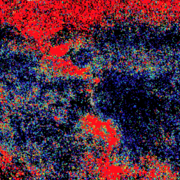
OFFL/L3_SO2 This dataset provides offline high-resolution imagery of atmospheric sulfur dioxide (SO2) concentrations. Sulfur dioxide (SO2) enters the Earth's atmosphere through both natural and anthropogenic processes. It plays a role in chemistry on a local and global scale and its impact ranges from short-term pollution … air-quality atmosphere bira copernicus dlr esa