Page Summary
-
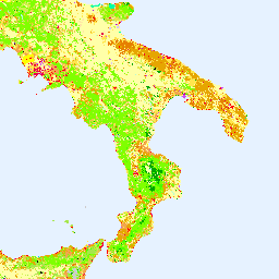
The CORINE Land Cover (CLC) inventory was initiated in 1985 to standardize land data collection in Europe for environmental policy development, coordinated by the European Environment Agency (EEA).
-
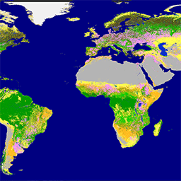
The Copernicus Global Land Service (CGLS) provides a series of bio-geophysical products on the status and evolution of the land surface at a global scale.
-
Copernicus CORINE Land Cover

The CORINE (coordination of information on the environment) Land Cover (CLC) inventory was initiated in 1985 to standardize data collection on land in Europe to support environmental policy development. The project is coordinated by the European Environment Agency (EEA) in the frame of the EU … copernicus eea esa eu landcover landuse-landcover -
Copernicus Global Land Cover Layers: CGLS-LC100 Collection 3

The Copernicus Global Land Service (CGLS) is earmarked as a component of the Land service to operate a multi-purpose service component that provides a series of bio-geophysical products on the status and evolution of land surface at global scale. The Dynamic Land Cover map at … copernicus eea esa eu landcover landuse-landcover