Page Summary
-
BESS Radiation v1 is a process-based model coupling atmosphere and canopy interactions to generate 5-km daily radiation products.
-
CFSR is a global, high-resolution coupled reanalysis system providing estimates of the state of the atmosphere, ocean, land surface, and sea ice over a 32-year period.
-
CFSV2 is a fully coupled model developed at NCEP representing the interaction between the Earth's atmosphere, oceans, land, and sea ice.
-
Daymet V4 provides gridded estimates of daily weather parameters for Continental North America, Hawaii, and Puerto Rico derived from meteorological station data.
-
ECMWF Near-Realtime IFS Atmospheric Forecasts contain 15-day atmospheric model variable forecasts at 0.25 degree resolution released twice daily.
-
ERA5 Hourly is the fifth generation ECMWF atmospheric reanalysis of the global climate combining model data with observations.
-
ERA5-Land provides a consistent view of land variable evolution at enhanced resolution by replaying the land component of the ERA5 climate reanalysis.
-
GFS is a weather forecast model produced by NCEP providing gridded forecast variables with forecasts up to 384 hours.
-
GLDAS-2 is a global land data assimilation system with components GLDAS-2.0, GLDAS-2.1, and GLDAS-2.2, providing temporally consistent series with different forcing inputs.
-
GRIDMET provides high spatial resolution daily surface meteorological fields across the contiguous United States from 1979 by blending PRISM and other data.
-
MCD18A1.062 is a MODIS Terra and Aqua combined daily/3-hour Downward Shortwave Radiation product at 1 km resolution.
-
MCD18C2.062 is a MODIS Terra and Aqua combined daily/3-hour Photosynthetically Active Radiation product at 0.05 degree resolution.
-
NLDAS-2 combines multiple observation sources to produce estimates of climatological properties at or near the Earth's surface, serving as the primary forcing file for Phase 2.
-
Reprocessed GLDAS-2.0 is a component of the GLDAS-2 system forced entirely with Princeton meteorological forcing input data, providing a consistent series from 1948 through 2014.
-
Breathing Earth System Simulator (BESS) Radiation v1
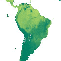
Breathing Earth System Simulator (BESS) is a simplified process-based model that couples atmosphere and canopy radiative transfers, canopy photosynthesis, transpiration, and energy balance. It couples an atmospheric radiative transfer model and artificial neural network with forcings from MODIS atmospheric products to generate 5-km daily products. … climate evapotranspiration gpp modis-derived par radiation -
CFSR: Climate Forecast System Reanalysis
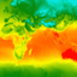
The National Centers for Environmental Prediction (NCEP) Climate Forecast System Reanalysis (CFSR) was designed and executed as a global, high-resolution, coupled atmosphere-ocean-land surface-sea ice system to provide the best estimate of the state of these coupled domains over the 32-year period of record from January … climate daylight flux forecast geophysical ncep -
CFSV2: NCEP Climate Forecast System Version 2, 6-Hourly Products Harmonized
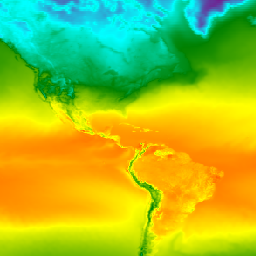
The National Centers for Environmental Prediction (NCEP) Climate Forecast System (CFS) is a fully coupled model representing the interaction between the Earth's atmosphere, oceans, land, and sea ice. CFS was developed at the Environmental Modeling Center (EMC) at NCEP. The operational CFS was upgraded to … climate daylight flux forecast geophysical ncep -
Daymet V4: Daily Surface Weather and Climatological Summaries
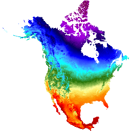
Daymet V4 provides gridded estimates of daily weather parameters for Continental North America, Hawaii, and Puerto Rico (Data for Puerto Rico is available starting in 1950). It is derived from selected meteorological station data and various supporting data sources. Compared to the previous version, Daymet … climate daily daylight flux geophysical nasa -
ECMWF Near-Realtime IFS Atmospheric Forecasts

This dataset contains 15-day forecasts of the atmospheric model variables generated by the ECMWF Integrated Forecasting System (IFS) at 0.25 degree resolution. We refer to these as Near-Realtime (NRT) because new products are released twice a day after the release of the ECMWF realtime forecast … climate dewpoint ecmwf forecast global humidity -
ERA5 Hourly - ECMWF Climate Reanalysis
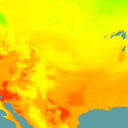
ERA5 is the fifth generation ECMWF atmospheric reanalysis of the global climate. It is produced by the Copernicus Climate Change Service (C3S) at ECMWF. Reanalysis combines model data with observations from across the world into a globally complete and consistent dataset using the laws of … atmosphere climate copernicus ecmwf era5 hourly -
ERA5-Land Daily Aggregated - ECMWF Climate Reanalysis
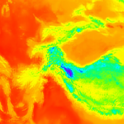
ERA5-Land is a reanalysis dataset providing a consistent view of the evolution of land variables over several decades at an enhanced resolution compared to ERA5. ERA5-Land has been produced by replaying the land component of the ECMWF ERA5 climate reanalysis. Reanalysis combines model data with … cds climate copernicus ecmwf era5-land evaporation -
ERA5-Land Hourly - ECMWF Climate Reanalysis
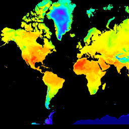
ERA5-Land is a reanalysis dataset providing a consistent view of the evolution of land variables over several decades at an enhanced resolution compared to ERA5. ERA5-Land has been produced by replaying the land component of the ECMWF ERA5 climate reanalysis. Reanalysis combines model data with … cds climate copernicus ecmwf era5-land evaporation -
ERA5-Land Monthly Aggregated - ECMWF Climate Reanalysis
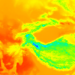
ERA5-Land is a reanalysis dataset providing a consistent view of the evolution of land variables over several decades at an enhanced resolution compared to ERA5. ERA5-Land has been produced by replaying the land component of the ECMWF ERA5 climate reanalysis. Reanalysis combines model data with … cds climate copernicus ecmwf era5-land evaporation -
ERA5-Land Monthly Averaged by Hour of Day - ECMWF Climate Reanalysis
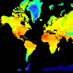
ERA5-Land is a reanalysis dataset providing a consistent view of the evolution of land variables over several decades at an enhanced resolution compared to ERA5. ERA5-Land has been produced by replaying the land component of the ECMWF ERA5 climate reanalysis. Reanalysis combines model data with … cds climate copernicus ecmwf era5-land evaporation -
GFS: Global Forecast System 384-Hour Predicted Atmosphere Data
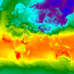
The Global Forecast System (GFS) is a weather forecast model produced by the National Centers for Environmental Prediction (NCEP). The GFS dataset consists of selected model outputs (described below) as gridded forecast variables. The 384-hour forecasts, with 1-hour (up to 120 hours) and 3-hour (after … climate cloud flux forecast geophysical humidity -
GLDAS-2.1: Global Land Data Assimilation System
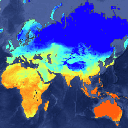
NASA Global Land Data Assimilation System Version 2 (GLDAS-2) has three components: GLDAS-2.0, GLDAS-2.1, and GLDAS-2.2. GLDAS-2.0 is forced entirely with the Princeton meteorological forcing input data and provides a temporally consistent series from 1948 through 2014. GLDAS-2.1 is forced with a combination of model … 3-hourly climate cryosphere evaporation forcing geophysical -
GLDAS-2.2: Global Land Data Assimilation System
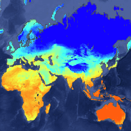
NASA Global Land Data Assimilation System Version 2 (GLDAS-2) has three components: GLDAS-2.0, GLDAS-2.1, and GLDAS-2.2. GLDAS-2.0 is forced entirely with the Princeton meteorological forcing input data and provides a temporally consistent series from 1948 through 2014. GLDAS-2.1 is forced with a combination of model … 3-hourly climate cryosphere evaporation forcing geophysical -
GRIDMET: University of Idaho Gridded Surface Meteorological Dataset
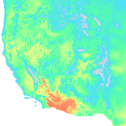
The Gridded Surface Meteorological dataset provides high spatial resolution (~4-km) daily surface fields of temperature, precipitation, winds, humidity and radiation across the contiguous United States from 1979. The dataset blends the high resolution spatial data from PRISM with the high temporal resolution data from the … climate gridmet humidity merced metdata precipitation -
MCD18A1.062 Surface Radiation Daily/3-Hour

The MCD18A1 Version 6.2 is a Moderate Resolution Imaging Spectroradiometer (MODIS) Terra and Aqua combined Downward Shortwave Radiation (DSR) gridded Level 3 product produced daily at 1 kilometer pixel resolution with estimates of DSR every 3 hours. DSR is incident solar radiation over land surfaces … climate par radiation -
MCD18C2.062 Photosynthetically Active Radiation Daily 3-Hour

The MCD18C2 Version 6.2 is a Moderate Resolution Imaging Spectroradiometer (MODIS) Terra and Aqua combined Photosynthetically Active Radiation (PAR) gridded Level 3 product produced daily at 0.05 degree (5,600 meters at the equator) resolution with estimates of PAR every 3 hours. PAR is incident solar … climate par radiation -
NLDAS-2: North American Land Data Assimilation System Forcing Fields
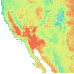
Land Data Assimilation System (LDAS) combines multiple sources of observations (such as precipitation gauge data, satellite data, and radar precipitation measurements) to produce estimates of climatological properties at or near the Earth''s surface. This dataset is the primary (default) forcing file (File A) for Phase … climate evaporation forcing geophysical hourly humidity -
Reprocessed GLDAS-2.0: Global Land Data Assimilation System
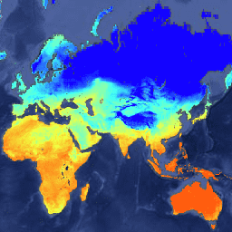
NASA Global Land Data Assimilation System Version 2 (GLDAS-2) has three components: GLDAS-2.0, GLDAS-2.1, and GLDAS-2.2. GLDAS-2.0 is forced entirely with the Princeton meteorological forcing input data and provides a temporally consistent series from 1948 through 2014. GLDAS-2.1 is forced with a combination of model … 3-hourly climate cryosphere evaporation forcing geophysical