Interfejs Solar API wykorzystuje dane o miejscu, aby określić typ budynku, i identyfikuje budynki na podstawie zdjęć satelitarnych. Na tej stronie dowiesz się, jak określić, które informacje o energii słonecznej budynku są zwracane w odpowiedzi na żądanie buildingInsights.
Typy budynków
Interfejs Solar API obsługuje budynki typu premise. Ten typ
wskazuje nazwaną lokalizację, zwykle budynek lub zespół budynków o wspólnej nazwie.
Inne typy, takie jak subpremise lub kompleksy budynków – na przykład wolnostojące budynki znajdujące się na jednej posesji, chyba że są zarejestrowane jako premise – nie są obsługiwane.
Budowanie dachów
Interfejs Solar API określa optymalne miejsca instalacji dachowych paneli słonecznych na podstawie zdjęć satelitarnych. Budynki mieszkalne, zwłaszcza te z dachami skośnymi, są identyfikowane z dużą dokładnością, natomiast w przypadku budynków z płaskimi dachami (np. budynków mieszkalnych lub komercyjnych) dokładność może być różna.
Jeśli odpowiedź buildingInsights nie zawiera pola solarPanelConfigs, oznacza to, że budynek został przetworzony prawidłowo, ale nie udało się umieścić paneli na dachu. Może się tak zdarzyć, jeśli dach jest zbyt mały, aby umieścić na nim panele, lub zbyt zacieniony, aby panele mogły generować znaczną ilość energii.
Wyszukiwanie z adresu
Adres możesz przekonwertować na współrzędne geograficzne za pomocą interfejsu Geocoding API lub interfejsu Place Autocomplete API.
Użyj elementu
place_id, aby odwołać się do dopasowanego miejsca.W żądaniu interfejsu Solar API użyj współrzędnych geograficznych miejsca.
buildingInsights- Jeśli interfejs Solar API znajdzie pasujący budynek, sprawdź, czy wartość
place_idw odpowiedzibuildingInsightsjest zgodna z wartościąplace_idz interfejsu Geocoding API lub interfejsu Autouzupełnianie miejsc. - Aby ograniczyć wyniki do miejsc typu
premise, dodaj filtr typu miejsca do odpowiedzi interfejsu Geocoding API lub Places API.{ "name": "buildings/ChIJh0CMPQW7j4ARLrRiVvmg6Vs", "center": { "latitude": 37.4449739, "longitude": -122.13914659999998 },... }
- Jeśli interfejs Solar API znajdzie pasujący budynek, sprawdź, czy wartość
Możesz użyć przykładowej aplikacji open source lub wysłać żądanie buildingInsights, aby sprawdzić place_id budynki objęte interfejsem Solar API.
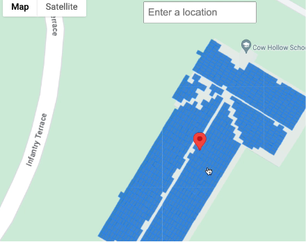
Wybieranie lokalizacji na mapie
Możesz też zaoferować dodatkowe funkcje, umożliwiając użytkownikom wybieranie budynku na mapie za pomocą interfejsu Maps JavaScript API. Wyodrębnij szerokość i długość geograficzną budynku z zdarzenia myszy, a następnie przekaż te współrzędne w żądaniu buildingInsights.