
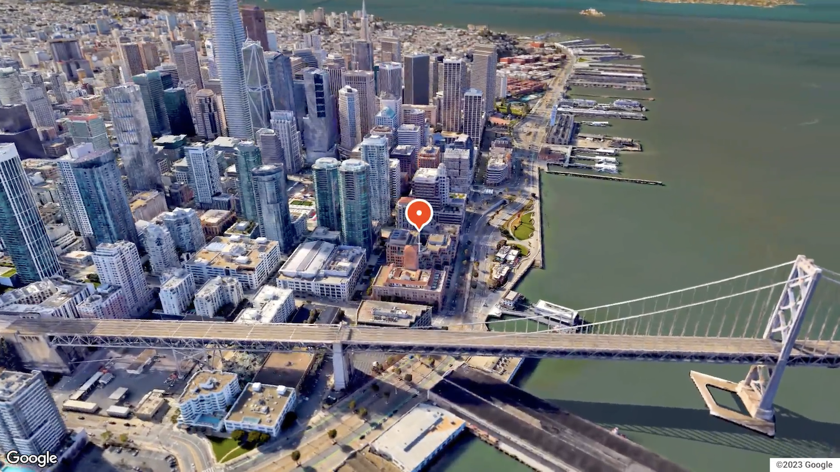
Aerial View API
Lets you create and display aerial view videos rendered using Google's 3D geospatial imagery. Aerial view videos are photorealistic 3D aerial views of a point of interest that simulates video taken by a drone circling overhead.
Get Started
Start building with the Aerial View API.
Get started with Google Maps Platform
Create an account, generate an API key, generate a session token, and then start building.
Request an existing aerial view video
This usage assumes that Google has already generated all of the aerial view videos that you need.
Request a video's metadata
View metadata associated with a given video, such as freshness and length.
Generate a new aerial view video
This usage assumes that Google hasn't already generated the aerial view video that you need, and you'll need to generate a new one.
View the API reference
View the Aerial View REST and gRPC API reference.
Help & support
Get help. Give help. Join the community.
Stack Overflow
Get help. Give Help. Build Maps karma.

Issue Tracker
Report a bug or open a feature request.

Platform status
Find out about platform incidents and outages.

Support
Get help from the Google Maps Platform team.