
透過 Aerial View API 服務,您可以為美國境內任何實際地點製作並展示逼真的 3D 鳥瞰影片。影片會模擬無人機從空中拍攝的影片片段。
Google 已為您建立預先算繪的鳥瞰圖影片資料集,涵蓋美國境內的大型建築物和地標。 我們也會不斷新增更多空拍影片。您可以直接使用這些現有影片,如果地址還沒有影片,也可以要求 Google 為您生成新影片。
使用 Aerial View API 的好處
以下是建議使用 Aerial View API 的幾個原因。
您想探索 3D 資料,但不熟悉 3D 圖塊,也不習慣使用算繪器
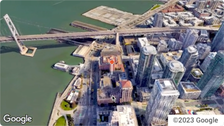
你喜歡衛星圖像的脈絡,而且能夠從街景服務辨識建築物外觀
你考慮聘請無人機操作員拍攝房地產
您想使用創新尖端技術
您可輕鬆在網站中嵌入影片
Aerial View API 的用途
以下列舉幾項 Aerial View API 的功能。
醒目顯示附近的道路、公園或水域,提供建築物的鳥瞰圖
讓潛在租屋者或購屋者瞭解房地產的狀況
為短片設定場景,讓觀眾知道你所在的位置
協助使用者規劃假期時,醒目顯示景點或搜尋點
協助送貨司機或購物者找到你的營業地點
Aerial View API 的運作方式
使用 Aerial View API 的方法有兩種。
| 做法 | 原因 |
|---|---|
| 查看生成的影片 | Google 已算繪所有需要的空照圖 (Google 的預先算繪資料集)。 |
| 生成新影片 | 您需要 Google 尚未預先算繪的鳥瞰圖圖像。 |
涵蓋區域
Aerial View API 僅支援美國境內的郵寄地址,Google 必須能為這些地址算繪 3D 影片。
如何使用 Aerial View API
| 1 | 詳閱《Google 地圖平台服務條款》 | 請注意,你無法下載、儲存或快取空拍影片。詳情請參閱《 Google 地圖平台服務條款》。 |
| 2 | 做好準備 | 請先設定 Google Cloud 專案,然後按照後續操作說明完成設定。 |
| 3 | 擷取空拍影片的中繼資料 | 將美國郵政地址或 videoId 傳送至 lookupVideoMetadata() 端點,即可傳回鳥瞰影片的中繼資料。請參閱擷取影片中繼資料。 |
| 4 | 擷取現有的鳥瞰影片 | 將美國郵政地址或 videoId傳送至 lookupVideo() 端點,即可取得預先算繪的空拍視訊。請參閱「擷取生成的影片」。 |
| 5 | 生成新的鳥瞰影片 | 將美國郵政地址傳送至 renderVideo() 端點,要求為指定地址生成新的鳥瞰影片。請參閱「生成新影片」。 |