Page Summary
-
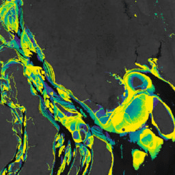
The Murray Global Intertidal Change Dataset provides global maps of tidal flat ecosystems.
-
The dataset is generated using supervised classification of over 700,000 Landsat images.
-
Pixels are classified as tidal flat, permanent water, or other based on training data.
-
Murray Global Intertidal Change Classification
The Murray Global Intertidal Change Dataset contains global maps of tidal flat ecosystems produced via a supervised classification of 707,528 Landsat Archive images. Each pixel was classified into tidal flat, permanent water or other with reference to a globally distributed set of training data. The … coastal google intertidal landsat-derived murray surface-ground-water -
Murray Global Intertidal Change Data Mask

The Murray Global Intertidal Change Dataset contains global maps of tidal flat ecosystems produced via a supervised classification of 707,528 Landsat Archive images. Each pixel was classified into tidal flat, permanent water or other with reference to a globally distributed set of training data. The … coastal google intertidal landsat-derived murray surface-ground-water -
Murray Global Intertidal Change QA Pixel Count

The Murray Global Intertidal Change Dataset contains global maps of tidal flat ecosystems produced via a supervised classification of 707,528 Landsat Archive images. Each pixel was classified into tidal flat, permanent water or other with reference to a globally distributed set of training data. The … coastal google intertidal landsat-derived murray surface-ground-water