
-
VJ209GA: VIIRS Surface Reflectance Daily 500m and 1km
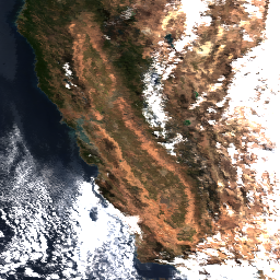
The Visible Infrared Imaging Radiometer Suite (VIIRS) daily surface reflectance (VJ209GA) Version 2 product provides an estimate of land surface reflectance from the Joint Polar Satellite System (JPSS-2) / NOAA-21 VIIRS sensor. Data are provided for three imagery bands (I1, I2, I3) at nominal 500 … daily nasa noaa noaa21 reflectance satellite-imagery -
VJ209H1: VIIRS Surface Reflectance 8-Day L3 Global 500m
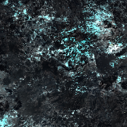
The 8-day Visible Infrared Imaging Radiometer Suite (VIIRS) Surface Reflectance (VJ209H1) Version 2 composite product provides an estimate of land surface reflectance from the Joint Polar Satellite System (JPSS-2) / NOAA-21 VIIRS sensor for three imagery bands (I1, I2, I3) at nominal 500 meter resolution … 8-day nasa noaa noaa21 reflectance satellite-imagery -
VJ213A1: VIIRS Vegetation Indices 16-Day 500m
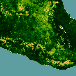
The Joint Polar Satellite System (JPSS-2) / NOAA-21 NASA Visible Infrared Imaging Radiometer Suite (VIIRS) Vegetation Indices (VJ213A1) Version 2 data product provides vegetation indices by a process of selecting the best available pixel over a 16-day acquisition period at 500 meter resolution. The VJ213 … 16-day evi nasa ndvi noaa noaa21