Page Summary
-
ASTER-GED provides mean emissivity and standard deviation data for 5 ASTER Thermal Infrared bands.
-
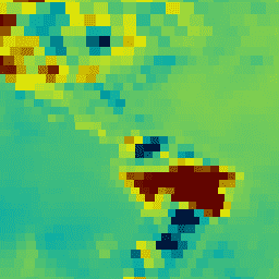
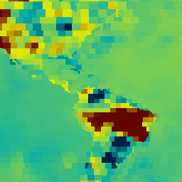
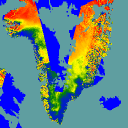
GRACE Tellus Monthly Mass Grids offer monthly gravitational anomalies presented as Equivalent Water Thickness in centimeters, relative to a 2004-2010 baseline.
-
Various GRACE Monthly Mass Grids datasets provide land, ocean, and global mascon water mass or storage/height anomalies derived from GRACE and GRACE-FO observations.
-
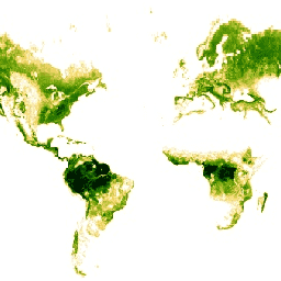
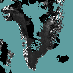
The Global Forest Canopy Height dataset represents global tree heights in 2005, derived from the fusion of spaceborne-lidar data and other geospatial data.
-
AG100: ASTER Global Emissivity Dataset 100-meter V003
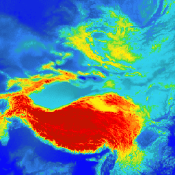
The Advanced Spaceborne Thermal Emission and Reflection Radiometer Global Emissivity Database (ASTER-GED) was developed by the National Aeronautics and Space Administration's (NASA) Jet Propulsion Laboratory (JPL), California Institute of Technology. This product includes the mean emissivity and standard deviation for all 5 ASTER Thermal Infrared … aster elevation emissivity geophysical infrared jpl -
GRACE Monthly Mass Grids - Ocean EOFR
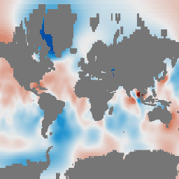
GRACE Tellus Monthly Mass Grids provides monthly gravitational anomalies relative to a 2004-2010 time-mean baseline. The data contained in this dataset are units of "Equivalent Water Thickness" which represent the deviations of mass in terms of vertical extent of water in centimeters. See the provider's … crs gfz grace gravity jpl mass -
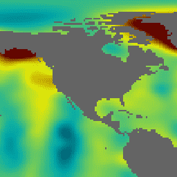
GRACE Monthly Mass Grids Release 06 Version 04 - Land
The monthly land mass grids contain water mass anomalies given as equivalent water thickness derived from GRACE & GRACE-FO time-variable gravity observations during the specified timespan, and relative to the specified time-mean reference period. The equivalent water thickness represents the total terrestrial water storage anomalies … crs gfz grace gravity jpl land -
GRACE Monthly Mass Grids Release 06 Version 04 - Ocean
GRACE Tellus Monthly Mass Grids provides monthly gravitational anomalies relative to a 2004-2010 time-mean baseline. The data contained in this dataset are units of "Equivalent Water Thickness" which represent the deviations of mass in terms of vertical extent of water in centimeters. See the provider's … crs gfz grace gravity jpl mass -
GRACE Monthly Mass Grids Release 6.3 Version 4 - Global Mascons
This dataset contains gridded monthly global water storage/height anomalies relative to a time-mean, derived from GRACE and GRACE-FO and processed at JPL using the Mascon approach (RL06.3Mv04). These data are provided in a single data file in netCDF format, and can be used for analysis … grace gravity jpl mascon mass nasa -
GRACE Monthly Mass Grids Version 04 - Global Mascon (CRI Filtered)
This dataset contains gridded monthly global water storage/height anomalies relative to a time-mean, derived from GRACE and GRACE-FO and processed at JPL using the Mascon approach (RL06.3Mv04). These data are provided in a single data file in netCDF format, and can be used for analysis … grace gravity jpl mascon mass nasa -
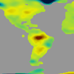
Global Forest Canopy Height, 2005
This dataset represents global tree heights based on a fusion of spaceborne-lidar data (2005) from the Geoscience Laser Altimeter System (GLAS) and ancillary geospatial data. See Simard et al. (2011) for details. canopy forest forest-biomass geophysical jpl nasa -
Global Seasonal Sentinel-1 Interferometric Coherence and Backscatter V2019 Backscatter
This data set is the first-of-its-kind spatial representation of multi-seasonal, global C-band Synthetic Aperture Radar (SAR) interferometric repeat-pass coherence and backscatter signatures. Coverage comprises land masses and ice sheets from 82 degrees Northern to 79 degrees Southern latitudes. The data set is derived from multi-temporal … backscatter earth-big-data jpl nasa polarization radar -
Global Seasonal Sentinel-1 Interferometric Coherence and Backscatter V2019 Coherence
This data set is the first-of-its-kind spatial representation of multi-seasonal, global C-band Synthetic Aperture Radar (SAR) interferometric repeat-pass coherence and backscatter signatures. Coverage comprises land masses and ice sheets from 82 degrees Northern to 79 degrees Southern latitudes. The data set is derived from multi-temporal … earth-big-data jpl nasa polarization radar sar -
Global Seasonal Sentinel-1 Interferometric Coherence and Backscatter V2019 Decay Model Parameters
This data set is the first-of-its-kind spatial representation of multi-seasonal, global C-band Synthetic Aperture Radar (SAR) interferometric repeat-pass coherence and backscatter signatures. Coverage comprises land masses and ice sheets from 82 degrees Northern to 79 degrees Southern latitudes. The data set is derived from multi-temporal … earth-big-data jpl nasa polarization radar sar -
Global Seasonal Sentinel-1 Interferometric Coherence and Backscatter V2019 Incidence Layover Shadow
This data set is the first-of-its-kind spatial representation of multi-seasonal, global C-band Synthetic Aperture Radar (SAR) interferometric repeat-pass coherence and backscatter signatures. Coverage comprises land masses and ice sheets from 82 degrees Northern to 79 degrees Southern latitudes. The data set is derived from multi-temporal … earth-big-data jpl nasa polarization radar sar -
OPERA Radiometric Terrain-Corrected SAR Backscatter from Sentinel-1 Static Layers V1.0
This product contains static radar geometry layers associated with the OPERA Radiometric Terrain Corrected SAR Backscatter from Sentinel-1 dataset. Due to the S1 mission’s narrow orbital tube, radar-geometry layers such as incidence angle, local incidence angle, number of looks, and RTC Area Normalization Factor (ANF) … jpl nasa opera sar satellite-imagery sentinel1-derived -
OPERA Radiometric Terrain-Corrected SAR Backscatter from Sentinel-1 V1.0
This product consists of radar backscatter normalized with respect to the topography. It maps signals related to the physical properties of ground scattering objects, such as surface roughness and soil moisture and/or vegetation. The OPERA RTC-S1 product is derived from Copernicus Sentinel-1 Interferometric Wide (IW) … backscatter jpl nasa opera polarization radar