Page Summary
-
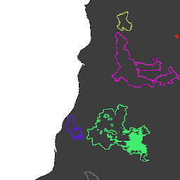
GlobFire provides fire boundaries derived from the MODIS dataset MCD64A1.
-
The data utilizes an algorithm that encodes space-time relationships among burned areas in a graph structure.
-
Each fire event is assigned a unique identifying number.
-
GlobFire Daily Fire Event Detection Based on MCD64A1
Fire boundaries based on the MODIS dataset MCD64A1. The data were computed based on an algorithm that relies on encoding in a graph structure a space-time relationship among patches of burned areas. Each fire has a unique number identifying the event. area burnt disaster fire globfire mcd64a1 -
GlobFire Final Fire Event Detection Based on MCD64A1

Fire boundaries based on the MODIS dataset MCD64A1. The data were computed based on an algorithm that relies on encoding in a graph structure a space-time relationship among patches of burned areas. Each fire has a unique number identifying the event. area burnt disaster fire globfire mcd64a1