Page Summary
-
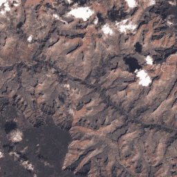
Landsat 7 and Landsat 8 Collection 2 Tier 1 and Real-Time data provide scaled, calibrated at-sensor radiance values.
-
Scenes with the highest data quality are designated Tier 1 and are suitable for time-series analysis.
-
Tier 1 data includes Level-1 Precision Terrain (L1TP) processed scenes.
-
USGS Landsat 7 Collection 2 Tier 1 and Real-Time data Raw Scenes

Landsat 7 Collection 2 Tier 1 and Real-Time data DN values, representing scaled, calibrated at-sensor radiance. Landsat scenes with the highest available data quality are placed into Tier 1 and are considered suitable for time-series processing analysis. Tier 1 includes Level-1 Precision Terrain (L1TP) processed … c2 etm global l7 landsat le7 -
USGS Landsat 8 Collection 2 Tier 1 and Real-Time data Raw Scenes
Landsat 8 Collection 2 Tier 1 and Real-Time data DN values, representing scaled, calibrated at-sensor radiance. Landsat scenes with the highest available data quality are placed into Tier 1 and are considered suitable for time-series processing analysis. Tier 1 includes Level-1 Precision Terrain (L1TP) processed … c2 global l8 landsat lc8 nrt