Page Summary
-
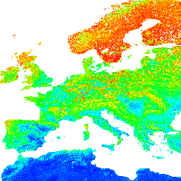
OpenLandMap Soil pH in H2O provides soil pH data at 6 standard depths at 250m resolution, excluding Antarctica.
-
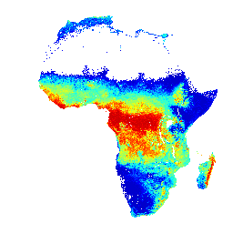
iSDAsoil pH offers soil pH data for Africa at two depth ranges with predicted mean and standard deviation, noting potential artifacts in dense jungle areas.
-
OpenLandMap Soil pH in H2O

Soil pH in H2O at 6 standard depths (0, 10, 30, 60, 100 and 200 cm) at 250 m resolution Processing steps are described in detail here. Antarctica is not included. To access and visualize maps outside of Earth Engine, use this page. If you … envirometrix opengeohub openlandmap ph soil -
iSDAsoil pH

pH at soil depths of 0-20 cm and 20-50 cm, predicted mean and standard deviation. Pixel values must be back-transformed with x/10. In areas of dense jungle (generally over central Africa), model accuracy is low and therefore artifacts such as banding (striping) might be seen. … africa isda ph soil