-
FAO GAUL 500m Simplified: Global Administrative Unit Layers 2015, Country Boundaries

このバージョンの GAUL データセットは 500 m で簡略化されています。Global Administrative Unit Layers(GAUL)は、世界のすべての国の行政単位に関する入手可能な最良の情報を収集して配布し、行政単位を表す空間データセットの標準化に貢献しています。… borders countries fao gaul infrastructure-boundaries table -
FAO GAUL 500m Simplified: Global Administrative Unit Layers 2015, First-Level Administrative Units

このバージョンの GAUL データセットは 500 m で簡略化されています。Global Administrative Unit Layers(GAUL)は、世界のすべての国の行政単位に関する入手可能な最良の情報を収集して配布し、行政単位を表す空間データセットの標準化に貢献しています。… borders departments fao gaul infrastructure-boundaries provinces -
FAO GAUL 500m Simplified: Global Administrative Unit Layers 2015, Second-Level Administrative Units

このバージョンの GAUL データセットは 500 m で簡略化されています。Global Administrative Unit Layers(GAUL)は、世界のすべての国の行政単位に関する入手可能な最良の情報を収集して配布し、行政単位を表す空間データセットの標準化に貢献しています。… borders county districts fao gaul infrastructure-boundaries -
FAO GAUL: Global Administrative Unit Layers 2015、国境
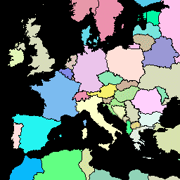
Global Administrative Unit Layers(GAUL)は、世界のすべての国の行政単位に関する入手可能な最良の情報を収集して配布し、行政単位を表す空間データセットの標準化に貢献しています。GAUL は常に、統一された… borders countries fao gaul infrastructure-boundaries table -
FAO GAUL: Global Administrative Unit Layers 2015, First-Level Administrative Units
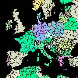
Global Administrative Unit Layers(GAUL)は、世界のすべての国の行政単位に関する入手可能な最良の情報を収集して配布し、行政単位を表す空間データセットの標準化に貢献しています。GAUL は常に、統一された… borders departments fao gaul infrastructure-boundaries provinces -
FAO GAUL: Global Administrative Unit Layers 2015, Second-Level Administrative Units
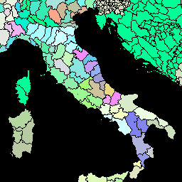
Global Administrative Unit Layers(GAUL)は、世界のすべての国の行政単位に関する入手可能な最良の情報を収集して配布し、行政単位を表す空間データセットの標準化に貢献しています。GAUL は常に、統一された… borders county districts fao gaul infrastructure-boundaries