-
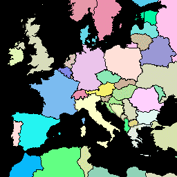
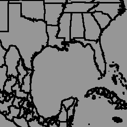
FAO GAUL 500m Simplified: Global Administrative Unit Layers 2015, Country Boundaries

このバージョンの GAUL データセットは 500 m で簡略化されています。Global Administrative Unit Layers(GAUL)は、世界のすべての国の行政単位に関する入手可能な最良の情報を収集して配布し、行政単位を表す空間データセットの標準化に貢献しています。… borders countries fao gaul infrastructure-boundaries table -
FAO GAUL: Global Administrative Unit Layers 2015、国境
Global Administrative Unit Layers(GAUL)は、世界のすべての国の行政単位に関する入手可能な最良の情報を収集して配布し、行政単位を表す空間データセットの標準化に貢献しています。GAUL は常に、統一された… borders countries fao gaul infrastructure-boundaries table -
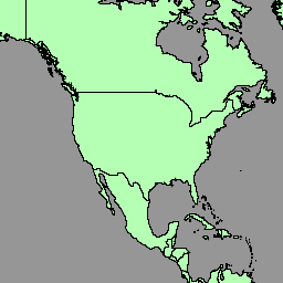
LSIB 2017: 大規模な国際境界ポリゴン、詳細

米国地理情報局は、大規模な国際境界(LSIB)データセットを提供しています。これは、LSIB ライン ベクトル ファイルと、米国国家地球空間情報局(NGA)の World Vector Shorelines(WVS)という 2 つのデータセットから派生したものです。内側の境界は、米国政府の… borders countries dos infrastructure-boundaries political table -
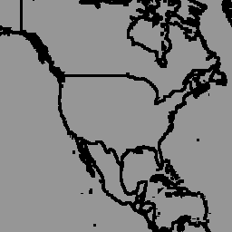
LSIB 2017: 大規模な国際境界線ポリゴン、簡略化
米国地理情報局は、大規模な国際境界(LSIB)データセットを提供しています。詳細版(2013 年)は、LSIB ライン ベクトル ファイルと、米国国家地球空間情報局(NGA)の World Vector Shorelines(WVS)という 2 つのデータセットから派生しています。内側の境界線は… borders countries dos infrastructure-boundaries political table -
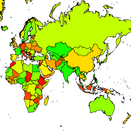
国連の地理空間データ: BNDA_simplified
国連の地理空間データ(Geodata)は、国連の全世界の地理空間データセットです。国連の地図データは、国連における地図作成資料の作成を容易にするために提供されており、適切な描写と命名を容易にするためのジオメトリ、属性、ラベルが含まれています。 borders countries infrastructure-boundaries table -
geoBoundaries: 国レベル(ADM0)の行政境界、v6.0.0
geoBoundaries Global Database of Political Administrative Boundaries Database は、世界中のすべての国境(州、郡など)に関するオンラインのオープン ライセンス リソースです。現在、国連加盟国 195 か国すべて、グリーンランド、台湾、ニウエ、コソボを含む合計 199 のエンティティが追跡されています。包括的なグローバル … borders countries infrastructure-boundaries table -
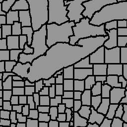
geoBoundaries: 郡レベル(ADM1)の行政区域、v6.0.0
geoBoundaries Global Database of Political Administrative Boundaries Database は、世界中のすべての国境(州、郡など)に関するオンラインのオープン ライセンス リソースです。現在、国連加盟国 195 か国すべて、グリーンランド、台湾、ニウエ、コソボを含む合計 199 のエンティティが追跡されています。包括的なグローバル … borders countries infrastructure-boundaries table -
geoBoundaries: 市町村レベル(ADM2)の行政境界、v6.0.0
geoBoundaries Global Database of Political Administrative Boundaries Database は、世界中のすべての国境(州、郡など)に関するオンラインのオープン ライセンス リソースです。現在、国連加盟国 195 か国すべて、グリーンランド、台湾、ニウエ、コソボを含む合計 199 のエンティティが追跡されています。包括的なグローバル … borders countries infrastructure-boundaries table