Page Summary
-
The Global Flood Database provides maps of over 900 flood events between 2000-2018.
-
JRC Global River Flood Hazard Maps represent river inundation for various flood return periods.
-
WRI Aqueduct 4.0 is a water risk framework with 13 indicators for quantity, quality, and reputational concerns.
-
WRI Aqueduct Floods data measures riverine and coastal flood risks under current and future conditions.
-
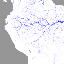
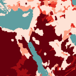
GFPLAIN250m: Global 250m Floodplain Dataset
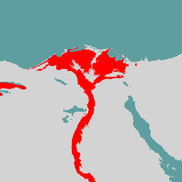
The GFPLAIN250m includes raster data of Earth's floodplains identified using a geomorphic approach presented in Nardi et al. (2006, 2018). The 250m floodplain dataset is derived by processing the NASA SRTM Digital Elevation model gathered from http://srtm.csi.cgiar.org/, and in particular the 250-m SRTM version 4.1 … flood monitoring surface-ground-water -
Global Flood Database v1 (2000-2018)
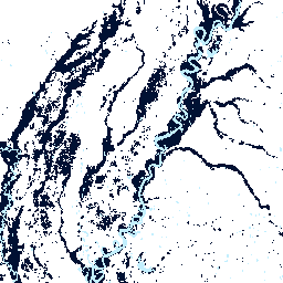
The Global Flood Database contains maps of the extent and temporal distribution of 913 flood events occurring between 2000-2018. For more information, see the associated journal article. Flood events were collected from the Dartmouth Flood Observatory and used to collect MODIS imagery. The selected 913 … flood surface surface-ground-water water -
JRC Global River Flood Hazard Maps Version 2.1
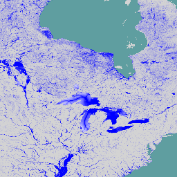
The global river flood hazard maps are a gridded data set representing inundation along the river network, for seven different flood return periods (from 1-in-10-years to 1-in-500-years). The input river flow data for the new maps are produced by means of the open-source hydrological model … flood monitoring surface-ground-water wri -
WRI Aqueduct Baseline Annual Version 4.0
Aqueduct 4.0 is the latest iteration of WRI's water risk framework designed to translate complex hydrological data into intuitive indicators of water related risk. This dataset has curated 13 water risk indicators for quantity, quality and reputational concerns into a comprehensive framework. For 5 of … aqueduct flood monitoring surface-ground-water table wri -
WRI Aqueduct Baseline Monthly Version 4.0

Aqueduct 4.0 is the latest iteration of WRI's water risk framework designed to translate complex hydrological data into intuitive indicators of water related risk. This dataset has curated 13 water risk indicators for quantity, quality and reputational concerns into a comprehensive framework. For 5 of … aqueduct flood monitoring surface-ground-water table wri -
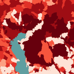
WRI Aqueduct Floods Hazard Maps Version 2
Aqueduct Floods data measures riverine and coastal food risks under both current baseline conditions and future projections in 2030, 2050, and 2080. In addition to providing hazard maps and assessing risks, Aqueduct Floods helps to conduct comprehensive cost-benefit analysis to evaluate the value of dike … flood monitoring surface-ground-water wri -
WRI Aqueduct Future Annual Version 4.0
Aqueduct 4.0 is the latest iteration of WRI's water risk framework designed to translate complex hydrological data into intuitive indicators of water related risk. This dataset has curated 13 water risk indicators for quantity, quality and reputational concerns into a comprehensive framework. For 5 of … aqueduct flood monitoring surface-ground-water table wri