-
TIGER: 2020 年集計(国勢調査)ブロック

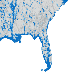
米国国勢調査局は、TIGER という名前のジオデータベースを定期的にリリースしています。このデータセットには、2020 年の国勢調査ブロック(都市ブロックとほぼ同等)が含まれています。米国、コロンビア特別区、プエルトリコ、島をカバーするポリゴン フィーチャーは 800 万件強あります。 census city infrastructure-boundaries neighborhood table tiger -
TIGER: 米国国勢調査ブロック グループ(BG)2010

米国国勢調査局は、TIGER という名前のジオデータベースを定期的にリリースしています。このデータセットには、2010 年の国勢調査ブロック グループが含まれています。これは、同じ国勢調査区内のブロックのクラスタで、4 桁の国勢調査ブロック番号の最初の数字が同じです。ただ、 census city infrastructure-boundaries neighborhood table tiger -
TIGER: 米国国勢調査ブロック グループ(BG)2020
米国国勢調査局は、TIGER という名前のジオデータベースを定期的にリリースしています。このデータセットには、2020 年の国勢調査ブロック グループが含まれています。これは、同じ国勢調査区内のブロックのクラスタで、4 桁の国勢調査ブロック番号の最初の数字が同じです。ただ、 census city infrastructure-boundaries neighborhood table tiger -
TIGER: 米国国勢調査ブロック
米国国勢調査局は、TIGER という名前のジオデータベースを定期的にリリースしています。このデータセットには、都市の 1 区画とほぼ同じ 2010 年の国勢調査ブロックが含まれています。米国、コロンビア特別区、プエルトリコ、島をカバーするポリゴン フィーチャーは 1,100 万件強あります。 census city infrastructure-boundaries neighborhood table tiger -
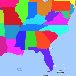
TIGER: US Census Counties 2016

米国国勢調査局の TIGER データセットには、米国の州の主要な法的区分の 2016 年の境界が含まれています。ほとんどの州では、これらのエンティティは「郡」と呼ばれます。ルイジアナ州では、これらの区分は「パリッシュ」と呼ばれます。アラスカ州には、同様の政府機関である「ボロー」という政府機関があります。 census county infrastructure-boundaries table tiger us -
TIGER: 米国国勢調査郡 2018
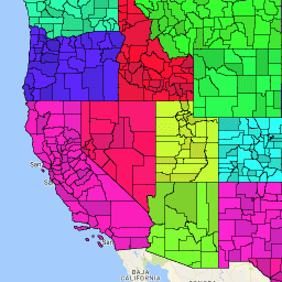
米国国勢調査局の TIGER データセットには、米国の州の主要な法的区分の 2018 年の境界が含まれています。ほとんどの州では、これらのエンティティは「郡」と呼ばれます。ルイジアナ州では、これらの区分は「パリッシュ」と呼ばれます。アラスカ州には、同様の政府機関である「ボロー」という政府機関があります。 census county infrastructure-boundaries table tiger us -
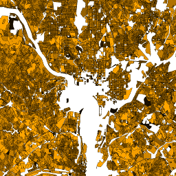
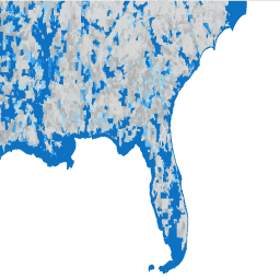
TIGER: 米国国勢調査道路
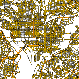
この米国国勢調査局の TIGER データセットには、2016 年のリリースに含まれるすべての道路セグメントが含まれています。米国、コロンビア特別区、プエルトリコ、離島地域をカバーする 1,900 万を超える個々のライン フィーチャーが含まれています。各フィーチャーは道路セグメントのジオメトリ(… census infrastructure-boundaries roads table tiger us -
TIGER: 米国国勢調査の州(2016 年)
米国国勢調査局の TIGER データセットには、米国の主要な行政区画の 2016 年の境界が含まれています。米国国勢調査局は、50 州に加えて、コロンビア特別区、プエルトリコ、各島嶼地域(米領サモア、… census infrastructure-boundaries state states table tiger> -
TIGER: 米国国勢調査の州(2018 年)

米国国勢調査局の TIGER データセットには、米国の主要な行政区画の 2018 年の境界が含まれています。米国国勢調査局は、50 州に加えて、コロンビア特別区、プエルトリコ、各島嶼地域(米領サモア、… census infrastructure-boundaries state states table tiger> -
TIGER: 米国国勢調査区
米国国勢調査局は、TIGER という名前のジオデータベースを定期的にリリースしています。このデータセットには、2020 年の調査地域が含まれています。国勢調査区の面積は大きく異なりますが、都市部ではおおむね近隣地域に相当します。米国、コロンビア特別区、プエルトリコをカバーするポリゴン フィーチャーが 85, 000 個以上あります。 census city infrastructure-boundaries neighborhood table tiger -
TIGER: 米国国勢調査区の人口統計 - プロファイル 1

米国国勢調査局は、TIGER という名前のジオデータベースを定期的にリリースしています。このテーブルには、国勢調査区別に集計された 2010 年の国勢調査の人口統計プロファイル 1 の値が含まれています。国勢調査区の面積は大きく異なりますが、都市部ではおおむね近隣地域に相当します。約 74,000 個のポリゴン フィーチャーがあります。 census infrastructure-boundaries table tiger us