-
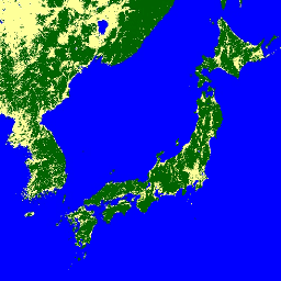
ALOS-2 PALSAR-2 StripMap レベル 2.1

2024 年 1 月 1 日の夜から、日本の省庁や関連機関からの要請に基づき、JAXA は ALOS-2 PALSAR-2 緊急観測を実施しました。JAXA は、これらの緊急観測データが災害管理に非常に役立つと予想しているため、これらのデータを公開することにしました。 alos2 eroc jaxa palsar2 radar sar -
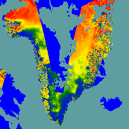
グローバル 3 クラス PALSAR-2/PALSAR 森林/非森林マップ
2017 ~ 2020 年の 4 つのクラスを含むこのデータセットの新しいバージョンは、JAXA/ALOS/PALSAR/YEARLY/FNF4 にあります。グローバル森林/非森林マップ(FNF)は、グローバル 25 m 分解能の PALSAR-2/PALSAR SAR モザイクで SAR 画像(後方散乱係数)を分類して生成されます。これにより、強い後方散乱ピクセルと弱い後方散乱ピクセルが… alos alos2 classification eroc forest forest-biomass -
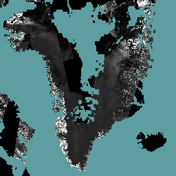
グローバル 4 クラス PALSAR-2/PALSAR 森林/非森林マップ
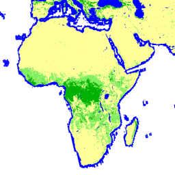
グローバル森林/非森林マップ(FNF)は、グローバル 25 m 分解能の PALSAR-2/PALSAR SAR モザイクで SAR 画像(後方散乱係数)を分類し、強い後方散乱ピクセルと弱い後方散乱ピクセルをそれぞれ「森林」と「非森林」として割り当てることで生成されます。ここで、「森林」は、… alos alos2 classification eroc forest forest-biomass -
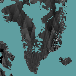
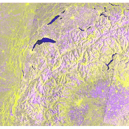
Global PALSAR-2/PALSAR Yearly Mosaic、バージョン 1

このデータセットの新しいバージョン(2015 ~ 2021 年のデータを含む)は、JAXA/ALOS/PALSAR/YEARLY/SAR_EPOCH にあります。グローバル 25m PALSAR/PALSAR-2 モザイクは、PALSAR/PALSAR-2 の SAR 画像のストリップをモザイク処理して作成されたシームレスなグローバル SAR 画像です。各年と場所について、ストリップ データが選択されました。 alos alos2 eroc jaxa palsar palsar2 -
Global PALSAR-2/PALSAR Yearly Mosaic、バージョン 2.5.0
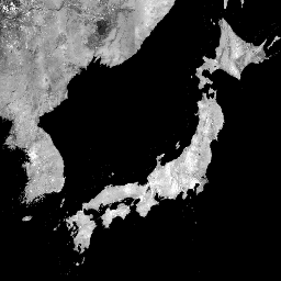
グローバル 25m PALSAR/PALSAR-2 モザイクは、PALSAR/PALSAR-2 の SAR 画像のストリップをモザイク処理して作成されたシームレスなグローバル SAR 画像です。各年と場所について、期間中に利用可能なブラウズ モザイクの目視検査によってストリップ データが選択されました。このデータは、最小の… alos alos2 eroc jaxa palsar palsar2 -
Global Seasonal Sentinel-1 Interferometric Coherence and Backscatter V2019 Backscatter
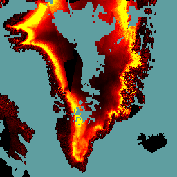
このデータセットは、多季節のグローバル C バンド合成開口レーダー(SAR)干渉計の繰り返しパス コヒーレンスと後方散乱シグネチャを空間的に表現した初のデータセットです。この範囲には、北緯 82 度から南緯 79 度までの陸地と氷床が含まれます。データセットは、マルチテンポラル… backscatter earth-big-data jpl nasa polarization radar -
Global Seasonal Sentinel-1 Interferometric Coherence and Backscatter V2019 Coherence
このデータセットは、多季節のグローバル C バンド合成開口レーダー(SAR)干渉計の繰り返しパス コヒーレンスと後方散乱シグネチャを空間的に表現した初のデータセットです。この範囲には、北緯 82 度から南緯 79 度までの陸地と氷床が含まれます。データセットは、マルチテンポラル… earth-big-data jpl nasa polarization radar sar -
Global Seasonal Sentinel-1 Interferometric Coherence and Backscatter V2019 Decay Model Parameters
このデータセットは、多季節のグローバル C バンド合成開口レーダー(SAR)干渉計の繰り返しパス コヒーレンスと後方散乱シグネチャを空間的に表現した初のデータセットです。この範囲には、北緯 82 度から南緯 79 度までの陸地と氷床が含まれます。データセットは、マルチテンポラル… earth-big-data jpl nasa polarization radar sar -
Global Seasonal Sentinel-1 Interferometric Coherence and Backscatter V2019 Incidence Layover Shadow
このデータセットは、多季節のグローバル C バンド合成開口レーダー(SAR)干渉計の繰り返しパス コヒーレンスと後方散乱シグネチャを空間的に表現した初のデータセットです。この範囲には、北緯 82 度から南緯 79 度までの陸地と氷床が含まれます。データセットは、マルチテンポラル… earth-big-data jpl nasa polarization radar sar -
PALSAR-2 ScanSAR レベル 2.2
25 m PALSAR-2 ScanSAR は、観測幅 350 km の PALSAR-2 広域観測モードの正規化された後方散乱データです。SAR 画像は、ALOS World 3D - 30 m(AW3D30)デジタル サーフェス モデルを使用して、オルソ補正と傾斜補正が行われました。偏光データは … alos2 eroc jaxa palsar2 radar sar -
Sentinel-1 SAR GRD: C 帯域合成開口レーダーの Ground Range Detected、対数スケーリング
Sentinel-1 ミッションは、5.405 GHz(C 帯域)のデュアル偏波 C 帯域合成開口レーダー(SAR)機器からデータを提供します。このコレクションには、Sentinel-1 Toolbox を使用して処理され、補正された直交補正プロダクトを生成した S1 地上範囲検出(GRD)シーンが含まれています。コレクションは毎日更新されます。新しい… backscatter copernicus esa eu polarization radar