-
ALOS DSM: Global 30m v4.1

ALOS World 3D - 30m(AW3D30)は、水平解像度が約 30 メートル(1 秒角メッシュ)のグローバルなデジタル サーフェス モデル(DSM)データセットです。このデータセットは、World 3D Topographic Data の DSM データセット(5 メートルのメッシュ バージョン)に基づいています。詳細は… alos dem elevation elevation-topography geophysical jaxa -
ALOS/AVNIR-2 ORI

このデータセットには、陸域観測技術衛星「だいち」に搭載された高性能可視近赤外放射計 2 型(AVNIR-2)センサーから取得したオルソ補正画像が含まれています。AVNIR-2 ORI プロダクトは、ALOS のパンクロマチック リモート センシングを参照してステレオ マッチングを行った後、AVNIR-2 1B1 データから作成されました。 alos jaxa orthophoto satellite-imagery visible -
GHSL: Global building height 2018(P2023A)
この空間ラスター データセットは、2018 年の建物の高さのグローバル分布を 100 m の解像度で示しています。建物の高さの予測に使用される入力データは、ALOS グローバル デジタル サーフェス モデル(30 m)、NASA スペースシャトル レーダー地形ミッションなどです。 alos building built built-environment builtup copernicus -
GHSL: Global building volume 1975-2030(P2023A)
このラスター データセットは、100 メートル四方あたりの立方メートルで表された建物の体積のグローバル分布を示しています。このデータセットは、建物の総体積と、主に非住宅(NRES)用途のグリッドセルに割り当てられた建物の体積を測定します。推定値は、蓄積された… alos building built-environment copernicus dem ghsl -
PALSAR-2/PALSAR 森林/非森林のグローバル 3 クラス マップ
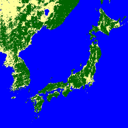
2017 ~ 2020 年の 4 つのクラスを含むこのデータセットの新しいバージョンは、JAXA/ALOS/PALSAR/YEARLY/FNF4 にあります。森林/非森林のグローバル マップ(FNF)は、グローバル 25 m 分解能の PALSAR-2/PALSAR SAR モザイクで SAR 画像(後方散乱係数)を分類して生成されます。これにより、強い後方散乱ピクセルと弱い後方散乱ピクセルが… alos alos2 classification eroc forest forest-biomass -
グローバル 4 クラス PALSAR-2/PALSAR 森林/非森林マップ
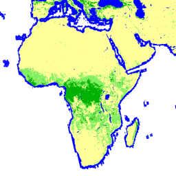
森林/非森林グローバル マップ(FNF)は、グローバル 25 m 分解能の PALSAR-2/PALSAR SAR モザイクで SAR 画像(後方散乱係数)を分類し、強い後方散乱ピクセルと弱い後方散乱ピクセルをそれぞれ「森林」と「非森林」として割り当てることで生成されます。ここで「森林」とは、… alos alos2 classification eroc forest forest-biomass -
Global PALSAR-2/PALSAR Yearly Mosaic、バージョン 1

このデータセットの新しいバージョン(2015 ~ 2021 年のデータを含む)は、JAXA/ALOS/PALSAR/YEARLY/SAR_EPOCH にあります。グローバル 25m PALSAR/PALSAR-2 モザイクは、PALSAR/PALSAR-2 の SAR 画像のストリップをモザイク処理して作成されたシームレスなグローバル SAR 画像です。各年と場所について、ストリップ データが選択されました。 alos alos2 eroc jaxa palsar palsar2 -
Global PALSAR-2/PALSAR Yearly Mosaic、バージョン 2.5.0
グローバル 25m PALSAR/PALSAR-2 モザイクは、PALSAR/PALSAR-2 の SAR 画像のストリップをモザイク処理して作成されたシームレスなグローバル SAR 画像です。各年と場所について、期間中に利用可能なブラウズ モザイクを視覚的に検査してストリップ データを選択しました。このデータは、最小の… alos alos2 eroc jaxa palsar palsar2