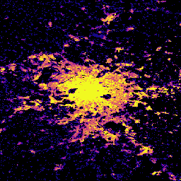
Open Buildings 2.5D Temporal Dataset には、建物の存在、建物の部分的な数、建物の高さに関するデータが、2016 年から 2023 年まで毎年 4 m の実効空間解像度(0.5 m の解像度でラスタが提供されます)で含まれています。これは、… のオープンソースの低解像度画像から生成されます。
[[["わかりやすい","easyToUnderstand","thumb-up"],["問題の解決に役立った","solvedMyProblem","thumb-up"],["その他","otherUp","thumb-up"]],[["必要な情報がない","missingTheInformationINeed","thumb-down"],["複雑すぎる / 手順が多すぎる","tooComplicatedTooManySteps","thumb-down"],["最新ではない","outOfDate","thumb-down"],["翻訳に関する問題","translationIssue","thumb-down"],["サンプル / コードに問題がある","samplesCodeIssue","thumb-down"],["その他","otherDown","thumb-down"]],[],[],["The Open Buildings Temporal Dataset offers annual data from 2016-2023 on building presence, counts, and heights at a 4m resolution, derived from low-resolution imagery. The GHSL dataset provides 10m resolution data on human settlements, detailing built environment characteristics and heights. Another GHSL dataset maps global building heights at 100m resolution for 2018, using data from sources like the ALOS Global Digital Surface Model.\n"]]