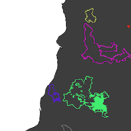
Ranh giới cháy dựa trên tập dữ liệu MCD64A1 của MODIS. Dữ liệu được tính toán dựa trên một thuật toán phụ thuộc vào việc mã hoá mối quan hệ không gian-thời gian giữa các mảng của khu vực bị cháy trong cấu trúc đồ thị. Mỗi đám cháy có một số riêng biệt để xác định sự kiện.
Ranh giới cháy dựa trên tập dữ liệu MCD64A1 của MODIS. Dữ liệu được tính toán dựa trên một thuật toán phụ thuộc vào việc mã hoá mối quan hệ không gian-thời gian giữa các mảng của khu vực bị cháy trong cấu trúc đồ thị. Mỗi đám cháy có một số riêng biệt để xác định sự kiện.
[[["Dễ hiểu","easyToUnderstand","thumb-up"],["Giúp tôi giải quyết được vấn đề","solvedMyProblem","thumb-up"],["Khác","otherUp","thumb-up"]],[["Thiếu thông tin tôi cần","missingTheInformationINeed","thumb-down"],["Quá phức tạp/quá nhiều bước","tooComplicatedTooManySteps","thumb-down"],["Đã lỗi thời","outOfDate","thumb-down"],["Vấn đề về bản dịch","translationIssue","thumb-down"],["Vấn đề về mẫu/mã","samplesCodeIssue","thumb-down"],["Khác","otherDown","thumb-down"]],[],[],["The datasets, \"GlobFire Daily Fire Event Detection\" and \"GlobFire Final Fire Event Detection,\" both use the MODIS MCD64A1 dataset to define fire boundaries. They employ an algorithm that encodes the spatial and temporal relationships between burned area patches in a graph structure. Each identified fire is assigned a unique number. The data is categorized by area, burnt regions, disaster, fire occurrences, GlobFire events, and MCD64A1 data.\n"]]