Landsat, a joint program of the USGS and NASA, has been observing the Earth continuously from 1972 through the present day. Today the Landsat satellites image the entire Earth's surface at a 30-meter resolution about once every two weeks, including multispectral and thermal data. The USGS produces data in 3 categories for each satellite (Tier 1, Tier 2 and RT). Read more about the different tiers.
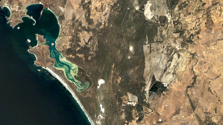
Surface Reflectance
Landsat 5 TM Collection 2 atmospherically corrected surface reflectance.
Dataset Availability: March 1984–May 2012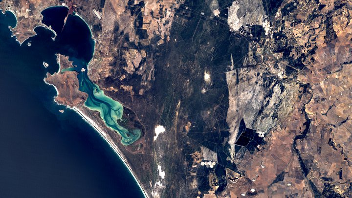
Top of Atmosphere
Landsat 5 TM Collection 2 calibrated top-of-atmosphere (TOA) reflectance.
Dataset Availability: March 1984–May 2012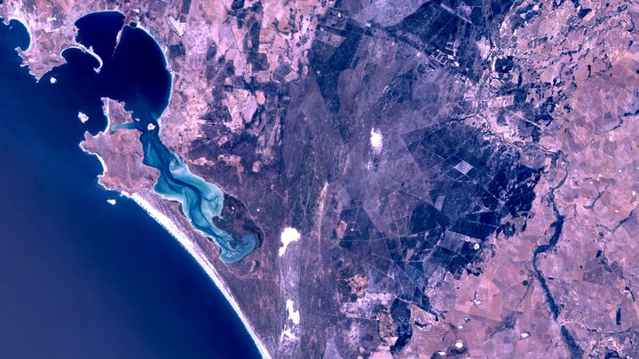
Raw Images
Landsat 5 TM Collection 2 DN values, representing scaled, calibrated at-sensor radiance.
Dataset Availability: March 1984–May 2012