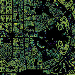
Open Buildings 2.5D Temporal Dataset には、建物の存在、建物の部分的な数、建物の高さに関するデータが、2016 年から 2023 年まで毎年 4 m の実効空間解像度(0.5 m の解像度でラスタが提供されます)で含まれています。これは、… のオープンソースの低解像度画像から生成されます。
[[["わかりやすい","easyToUnderstand","thumb-up"],["問題の解決に役立った","solvedMyProblem","thumb-up"],["その他","otherUp","thumb-up"]],[["必要な情報がない","missingTheInformationINeed","thumb-down"],["複雑すぎる / 手順が多すぎる","tooComplicatedTooManySteps","thumb-down"],["最新ではない","outOfDate","thumb-down"],["翻訳に関する問題","translationIssue","thumb-down"],["サンプル / コードに問題がある","samplesCodeIssue","thumb-down"],["その他","otherDown","thumb-down"]],[],[],["The Open Buildings Temporal V1 dataset provides annual data from 2016-2023 on building presence, fractional counts, and heights, with a 4m spatial resolution (0.5m raster). It's derived from low-resolution imagery. The Open Buildings V3 Polygons dataset offers 1.8 billion building outlines from 50 cm high-resolution satellite imagery, spanning 58 million km² across Africa, Latin America, the Caribbean, and parts of Asia.\n"]]