世界資源研究所(WRI)とベゾス アース ファンドが設立した Land & Carbon Lab は、Global Pasture Watch 研究コンソーシアムを設立しました。世界有数の研究機関の地理空間モニタリング、機械学習、生態学、農業の専門家で構成されるコンソーシアムは、21 世紀の草原と家畜の放牧のためのグローバル プロダクトを開発しています。
-
GPW 年間優占クラス(草原)v1
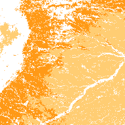
このデータセットは、2000 年から 2022 年までの世界の草原(耕作地と自然/半自然)の年間優占クラスマップを 30 m の空間分解能で提供します。Land & Carbon Lab Global Pasture Watch イニシアチブによって作成された、地図上の草地の範囲には、少なくとも次のものを含むすべての土地被覆タイプが含まれます。 グローバル global-pasture-watch 土地 土地被覆 土地利用 土地利用と土地被覆 -
GPW Annual Probabilities of Cultivated Grasslands v1
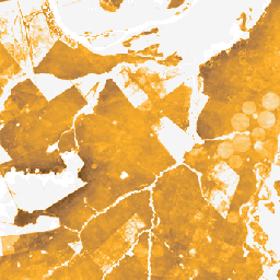
このデータセットは、2000 年から 2022 年までの耕作地の年間の確率マップを 30 メートルの空間分解能で提供します。Land & Carbon Lab Global Pasture Watch イニシアチブによって作成された、地図上の草地の範囲には、少なくとも 30% の乾燥した… を含むあらゆる土地被覆タイプが含まれます。 グローバル global-pasture-watch 土地 土地被覆 土地利用 土地利用と土地被覆 -
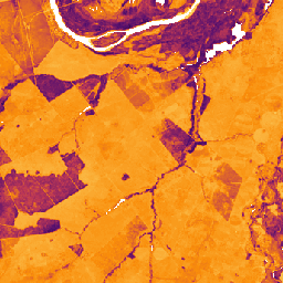
GPW 年間確率(自然/半自然の草地)v1

このデータセットは、2000 年から 2022 年までの自然/半自然の草地の年間確率マップを 30 m の空間分解能で提供します。Land & Carbon Lab Global Pasture Watch イニシアチブによって作成された、地図上の草地の範囲には、少なくとも 30% の乾燥した… を含むあらゆる土地被覆タイプが含まれます。 グローバル global-pasture-watch 土地 土地被覆 土地利用 土地利用と土地被覆 -
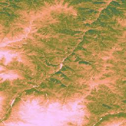
GPW 年間短植生高 v1
このデータセットは、2000 年以降の全球の植生高の中央値を 30 m の空間解像度で提供します。Land & Carbon Lab の Global Pasture Watch イニシアチブによって作成されたこのデータセットは、2000 年以降の全球の植生高の中央値(50 パーセンタイル)を 30 m の空間解像度で提供します。データセットは… canopy global global-pasture-watch land landcover plant-productivity -
GPW 年間未調整総一次生産量(uGPP)v1
このデータセットは、2000 年以降の地球規模の未調整の EO ベースの総一次生産量を 30 m の空間解像度で提供します。Land & Carbon Lab Global Pasture Watch イニシアチブによって作成された現在のデータセットは、2000 年以降の全球の総一次生産量(GPP)の値を 30 m の空間解像度で提供します。GPP の値 … global global-pasture-watch land landcover landuse plant-productivity