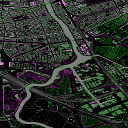
The Actueel Hoogtebestand Nederland (AHN) is a dataset with detailed and
precise elevation data for the whole of the Netherlands. Elevation
information was collected from helicopters and aircraft using laser
technology with vertical accuracy of 5 cm.
AHN3 Dataset contains the Netherlands AHN 0.5m DSM and DTM variables.
The data cover the period between 2014 and 2019.
The Digital Terrain Model (DTM) product represents the elevation of the
ground, while the Digital Surface Model (DSM) product represents the
elevation of the tallest surfaces at that point.
Bands
Pixel Size 0.5 meters
Bands
Name
Units
Description
dtm
m
Elevation of the ground
dsm
m
Elevation of the tallest surfaces at that point
Terms of Use
Terms of Use
The datasets of the AHN are available as Open Data.
This means that the data can be used by anyone for free and without
restrictions. For more information visit the
Open Data page. Downloads are available
under the terms of the
CC-0 license.
The Actueel Hoogtebestand Nederland (AHN) is a dataset with detailed and precise elevation data for the whole of the Netherlands. Elevation information was collected from helicopters and aircraft using laser technology with vertical accuracy of 5 cm. AHN3 Dataset contains the Netherlands AHN 0.5m DSM and DTM variables. The data …
[[["Easy to understand","easyToUnderstand","thumb-up"],["Solved my problem","solvedMyProblem","thumb-up"],["Other","otherUp","thumb-up"]],[["Missing the information I need","missingTheInformationINeed","thumb-down"],["Too complicated / too many steps","tooComplicatedTooManySteps","thumb-down"],["Out of date","outOfDate","thumb-down"],["Samples / code issue","samplesCodeIssue","thumb-down"],["Other","otherDown","thumb-down"]],[],[[["The AHN3 dataset provides detailed elevation data for the Netherlands, collected via laser technology from helicopters and aircraft, with a vertical accuracy of 5 cm."],["This dataset, sourced from AHN, spans the period from 2014 to 2019 and includes both Digital Terrain Model (DTM) and Digital Surface Model (DSM) variables at a 0.5-meter pixel size."],["The DTM band represents the ground's elevation, while the DSM band shows the elevation of the highest surfaces at any given point."],["The AHN datasets are available as Open Data, allowing free and unrestricted use under the CC-0 license, for more details visit their open data webpage."],["This dataset can be readily accessed and analyzed within the Google Earth Engine platform, using the provided `ee.ImageCollection(\"AHN/AHN3\")` snippet, with free access for research, education and nonprofit users."]]],[]]